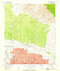
1957 Map of Tucson North
USGS Topo · Published 1959About this map
The northern reaches of Tucson are captured here during a period of significant mid-century expansion into the foothills. The city's northward movement is evident in the dense residential street grids south of Rillito Creek, while the land to the north remains relatively open, dominated by institutional sites like the University of Arizona Farm and the Rilvito Park and Race Track. This transition from urban development to the high desert is punctuated by many educational foundations, from the Amphitheater High School to the Valley School For Girls.
Find a feature on this map
85 named features on this map. Tap any name to fly to it.
Don’t see what you’re looking for? This feature index may not catch every label — zoom into the map to look around manually.
Map Details
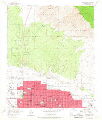
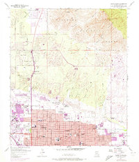
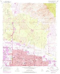
Editions of this 1957 Tucson North Map
4 editions found
Other maps of this area

1904 · Tucson
USGS Topo · 1:125,000

1905 · Tucson
USGS Topo · 1:125,000

1925 · San Xavier
USGS Topo · 1:62,500

1934 · Tucson Mountains
USGS Topo · 1:125,000

1943 · San Xavier Mission
USGS Topo · 1:62,500

1947 · Cortaro
USGS Topo · 1:62,500

1948 · Tucson
USGS Topo · 1:62,500

1956 · Tucson
USGS Topo · 1:250,000

1957 · Tucson East
USGS Topo · 1:24,000

1957 · San Xavier Mission
USGS Topo · 1:62,500