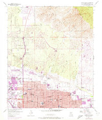
1957 Map of Tucson North
USGS Topo · Published 1973About this map
The foothills of the Santa Catalina Mountains meet a rapidly expanding desert city in this 1957 record, featuring revisions from 1971. In the northern reaches of Tucson, a dense grid of residential streets and educational institutions like Amphitheater High School and Salpointe High School push toward the banks of Rillito Creek. To the north, the terrain rises sharply into the Coronado National Forest, where landmarks like Mt. Kimball and Pusch Peak overlook the valley. This map captures a transitional era when agricultural sites like the University of Arizona Farm remained adjacent to growing infrastructure such as the Tucson Medical Center. Along the western edge, the Southern Pacific RR runs parallel to the Santa Cruz River, anchoring the industrial and transport corridor that historically defined the city's growth. Significant local landmarks, including Holy Hope Cemetery and Evergreen Cemetery, provide fixed points for genealogical research within the shifting urban landscape.
Find a feature on this map
68 named features on this map. Tap any name to fly to it.
Don’t see what you’re looking for? This feature index may not catch every label — zoom into the map to look around manually.
Map Details
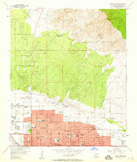
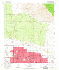
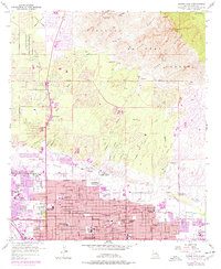
Editions of this 1957 Tucson North Map
4 editions found
Other maps of this area

1904 · Tucson
USGS Topo · 1:125,000

1905 · Tucson
USGS Topo · 1:125,000

1925 · San Xavier
USGS Topo · 1:62,500

1934 · Tucson Mountains
USGS Topo · 1:125,000

1943 · San Xavier Mission
USGS Topo · 1:62,500

1947 · Cortaro
USGS Topo · 1:62,500

1948 · Tucson
USGS Topo · 1:62,500

1956 · Tucson
USGS Topo · 1:250,000

1957 · Tucson East
USGS Topo · 1:24,000

1957 · San Xavier Mission
USGS Topo · 1:62,500