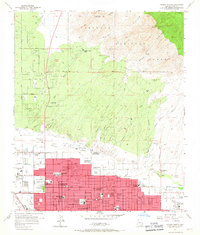
1957 Map of Tucson North
USGS Topo · Published 1967About this map
Tucson is shown during a period of rapid northward expansion, where the grid of city streets meets the natural barriers of the Coronado National Forest. This 1950s survey documents the urban boundary as it pushed toward the foothills of the Santa Catalina Mountains, specifically reaching for Pusch Peak and Mt. Kimball. The landscape transitions from dense residential blocks and institutions like the Academy of the Sacred Heart to the open ranching and educational outposts in the desert.
Find a feature on this map
59 named features on this map. Tap any name to fly to it.
Don’t see what you’re looking for? This feature index may not catch every label — zoom into the map to look around manually.
Map Details
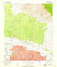
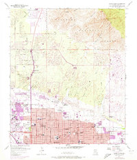
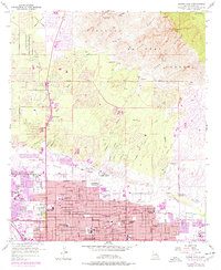
Editions of this 1957 Tucson North Map
4 editions found
Other maps of this area

1904 · Tucson
USGS Topo · 1:125,000

1905 · Tucson
USGS Topo · 1:125,000

1925 · San Xavier
USGS Topo · 1:62,500

1934 · Tucson Mountains
USGS Topo · 1:125,000

1943 · San Xavier Mission
USGS Topo · 1:62,500

1947 · Cortaro
USGS Topo · 1:62,500

1948 · Tucson
USGS Topo · 1:62,500

1956 · Tucson
USGS Topo · 1:250,000

1957 · Tucson East
USGS Topo · 1:24,000

1957 · San Xavier Mission
USGS Topo · 1:62,500