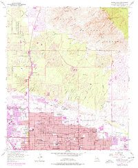
1957 Map of Tucson North
USGS Topo · Published 1977About this map
Rillito Creek divides the northward expansion of Tucson from the rugged slopes of the Coronado National Forest, where peaks like Mt. Kimball and Pusch Peak tower over the desert floor. The map documents a period of rapid suburbanization in the mid-1950s and mid-1970s, as the urban grid pushed toward the foothills of the Santa Catalina Mountains. This growth is evidenced by a dense network of educational and religious institutions, including Amphitheater High School, Salpointe High School, and the Academy of the Sacred Heart.
Find a feature on this map
47 named features on this map. Tap any name to fly to it.
Don’t see what you’re looking for? This feature index may not catch every label — zoom into the map to look around manually.
Map Details
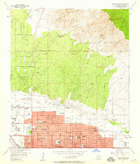
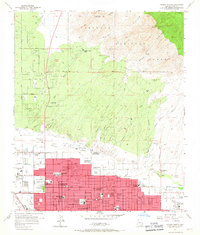
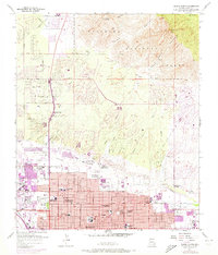
Editions of this 1957 Tucson North Map
4 editions found
Other maps of this area

1904 · Tucson
USGS Topo · 1:125,000

1905 · Tucson
USGS Topo · 1:125,000

1925 · San Xavier
USGS Topo · 1:62,500

1934 · Tucson Mountains
USGS Topo · 1:125,000

1943 · San Xavier Mission
USGS Topo · 1:62,500

1947 · Cortaro
USGS Topo · 1:62,500

1948 · Tucson
USGS Topo · 1:62,500

1956 · Tucson
USGS Topo · 1:250,000

1957 · Tucson East
USGS Topo · 1:24,000

1957 · San Xavier Mission
USGS Topo · 1:62,500