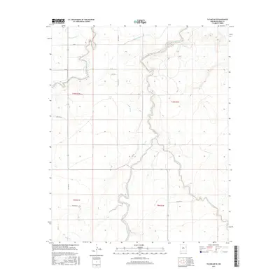
2017 Map of Tucumcari SE
USGS Topo · Published 2017About this map
Plaza Larga Cr snakes through the high desert of Quay County, illustrating the delicate balance of water management in eastern New Mexico. The landscape is defined by an intricate network of irrigation ditches, including the Wharton Lateral, Thomas Lateral, and Farrar Lateral, which divert water to support the local agricultural economy. These man-made features contrast with the natural drainages like Barranca Cr and Saladito Creek that cut through the terrain. The area is gridded by a systematic road network such as Quay Road AG and Quay Road AI, which delineate the sections of Townships 9 and 10 North. This survey captures a moment in the modern era where traditional ranching and farming rely on this blend of natural creeks and engineered water laterals.
Find a feature on this map
23 named features on this map. Tap any name to fly to it.
Don’t see what you’re looking for? This feature index may not catch every label — zoom into the map to look around manually.
Map Details
Editions of this 2017 Tucumcari SE Map
This is the sole edition of this map. No revisions or reprints were ever made.
Other maps of this area

1930 · Tucumcari
USGS Topo · 1:125,000

1954 · Tucumcari
USGS Topo · 1:250,000

1954 · Clovis
USGS Topo · 1:250,000

1958 · Clovis
USGS Topo · 1:250,000

1958 · Tucumcari
USGS Topo · 1:250,000

1967 · Tucumcari
USGS Topo · 1:24,000

1968 · Bulldog Mesa
USGS Topo · 1:24,000

1968 · San Jon NW
USGS Topo · 1:24,000

1968 · Lesbia
USGS Topo · 1:24,000

1968 · Bedford Hill
USGS Topo · 1:24,000