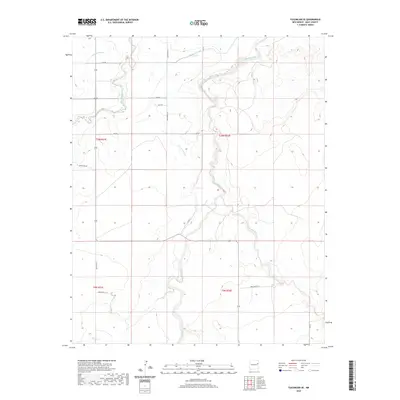
2020 Map of Tucumcari SE
USGS Topo · Published 2020About this map
Plaza Larga Creek winds through the eastern high plains of Quay County, illustrating the complex irrigation and drainage network vital to this arid landscape. This 2020 map documents the hydraulic infrastructure of the region, specifically naming the Wharton Lateral, Thomas Lateral, and Farrow Lateral canal systems that divert water across the townships. These engineered waterways parallel natural drainage features like Barranca Creek and Saladitos Creek, highlighting the intersection of natural topography and agricultural water management. The survey area is defined by a rigid grid of rural roads, such as Quay Road AG and Quay Road 56, which provide access to the vast ranchlands and fields southeast of the Tucumcari area. For the researcher or land historian, the map preserves the exact modern alignment of these irrigation channels and creek beds before further environmental or development changes occur.
Find a feature on this map
21 named features on this map. Tap any name to fly to it.
Don’t see what you’re looking for? This feature index may not catch every label — zoom into the map to look around manually.
Map Details
Editions of this 2020 Tucumcari SE Map
This is the sole edition of this map. No revisions or reprints were ever made.
Other maps of this area

1930 · Tucumcari
USGS Topo · 1:125,000

1954 · Tucumcari
USGS Topo · 1:250,000

1954 · Clovis
USGS Topo · 1:250,000

1958 · Clovis
USGS Topo · 1:250,000

1958 · Tucumcari
USGS Topo · 1:250,000

1967 · Tucumcari
USGS Topo · 1:24,000

1968 · Bulldog Mesa
USGS Topo · 1:24,000

1968 · San Jon NW
USGS Topo · 1:24,000

1968 · Lesbia
USGS Topo · 1:24,000

1968 · Bedford Hill
USGS Topo · 1:24,000