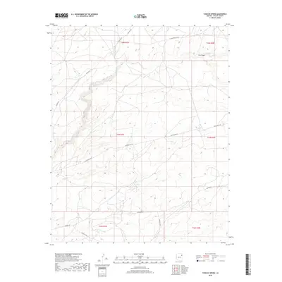
2018 Map of Tudecoz Spring
USGS Topo · Published 2018About this map
Tudecoz Spring and the drainage of Wide Ruin Wash define this high plateau landscape within the Fort Defiance Agency. The 2018 survey reveals a terrain crisscrossed by modern industrial and infrastructure corridors, notably the El Paso Pipeline Co Rd and Transwestern Rd, which cut across the traditional land divisions of the Public Land Survey System. These utility routes run parallel to local thoroughfares such as Oakridge Rd and Todikoz H Rd, illustrating the intersection of energy transit and local access in this part of Apache County.
Find a feature on this map
15 named features on this map. Tap any name to fly to it.
Don’t see what you’re looking for? This feature index may not catch every label — zoom into the map to look around manually.
Map Details
Editions of this 2018 Tudecoz Spring Map
This is the sole edition of this map. No revisions or reprints were ever made.
Other maps of this area

1886 · Fort Defiance
USGS Topo · 1:250,000

1892 · Fort Defiance
USGS Topo · 1:250,000

1954 · Gallup
USGS Topo · 1:250,000

1955 · Zith-Tusayan Butte 3 NW
USGS Topo · 1:24,000

1955 · Zith-Tusayan Butte 3 NE
USGS Topo · 1:24,000

1958 · Gallup
USGS Topo · 1:250,000

1959 · Gallup
USGS Topo · 1:250,000

1962 · Gallup
USGS Topo · 1:250,000

1967 · Gallup
USGS Topo · 1:250,000

1971 · Wide Ruins
USGS Topo · 1:24,000