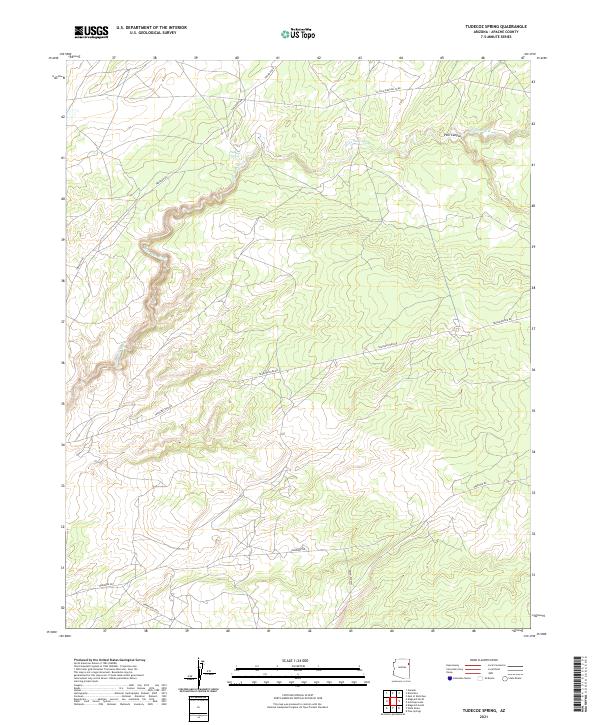
2021 Map of Tudecoz Spring
USGS Topo · Published 2021About this map
Wide Ruin Wash provides the primary drainage through this high desert plateau in Apache County, cutting through a landscape defined by significant utility infrastructure and tribal routes. The terrain is marked by the distinct Pine Canyon and the vital water source at Tudecoz Spring, around which local movement has historically centered. Modern industrial corridors are prominent, including the El Paso Pipeline Co Rd and Transwestern Rd, which traverse the open range alongside traditional Indian Routes like Indian Rte 9356. This 2021 survey documents the intersection of modern energy transmission and indigenous lands, showing how roads like Todikoz H Rd and Oakridge Rd connect remote reaches of the Navajo Nation across the township and range system.
Find a feature on this map
15 named features on this map. Tap any name to fly to it.
Don’t see what you’re looking for? This feature index may not catch every label — zoom into the map to look around manually.
Map Details
Editions of this 2021 Tudecoz Spring Map
This is the sole edition of this map. No revisions or reprints were ever made.
Other maps of this area

1886 · Fort Defiance
USGS Topo · 1:250,000

1892 · Fort Defiance
USGS Topo · 1:250,000

1954 · Gallup
USGS Topo · 1:250,000

1955 · Zith-Tusayan Butte 3 NW
USGS Topo · 1:24,000

1955 · Zith-Tusayan Butte 3 NE
USGS Topo · 1:24,000

1958 · Gallup
USGS Topo · 1:250,000

1959 · Gallup
USGS Topo · 1:250,000

1962 · Gallup
USGS Topo · 1:250,000

1967 · Gallup
USGS Topo · 1:250,000

1971 · Wide Ruins
USGS Topo · 1:24,000