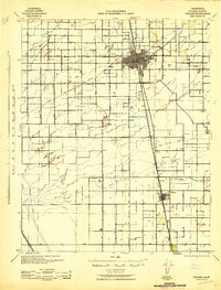
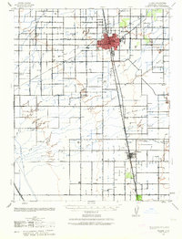
1942 Map of Tulare
USGS Topo · Published 1942About this map
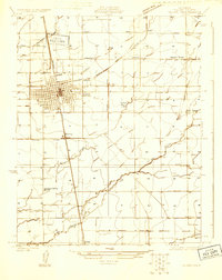
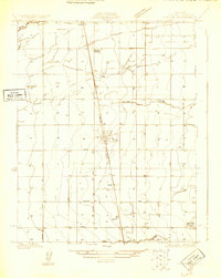
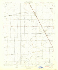
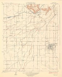
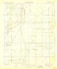
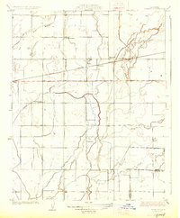
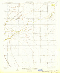
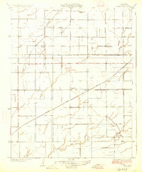
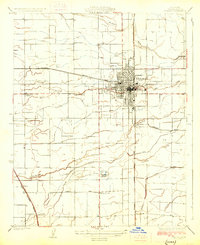
The agricultural heart of Tulare County is captured during the early 1940s, revealing a landscape defined by an intricate network of irrigation ditches and vital rail corridors. The city of Tulare serves as the central hub, where the Southern Pacific and Atchison Topeka and Santa Fe railroads intersect, facilitating the movement of Central Valley goods. To the south, Tipton anchors a rural landscape dotted with local school districts such as Oakland Colony Sch and Elk Bayou Sch, reflecting the decentralized community structure of the era.
Find a feature on this map
42 named features on this map. Tap any name to fly to it.
Don’t see what you’re looking for? This feature index may not catch every label — zoom into the map to look around manually.
Map Details
Editions of this 1942 Tulare Map
2 editions found
Other maps of this area

1914 · Lost Hills
USGS Topo · 1:125,000
1925 · Tulare
USGS Topo · 1:31,680
1925 · Tipton
USGS Topo · 1:31,680
1926 · Goshen
USGS Topo · 1:31,680
1926 · Exeter
USGS Topo · 1:31,680
1927 · Cairns Corner
USGS Topo · 1:31,680
1927 · Remnoy
USGS Topo · 1:31,680
1927 · Lake View School
USGS Topo · 1:31,680
1927 · Paige
USGS Topo · 1:31,680
1927 · Visalia
USGS Topo · 1:31,680