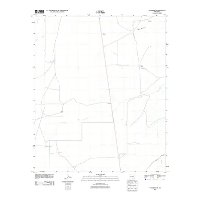
2010 Map of Tularosa NE
USGS Topo · Published 2010About this map
Salinas and the outlying Stover Ranch anchor this landscape in the northern Tularosa Basin, where water management is the defining feature of the terrain. The map documents a network of essential desert water sources, from natural outlets like Chosa Spring, West Spring, and Cowen Spring to man-made infrastructure such as the Crosby Windmill and Coyote Tank. These points of interest are linked by remote tracks like Snake Tank Rd and County Rd 8022, illustrating the sparse but deliberate settlement pattern of Otero County.
Find a feature on this map
17 named features on this map. Tap any name to fly to it.
Don’t see what you’re looking for? This feature index may not catch every label — zoom into the map to look around manually.
Map Details
Editions of this 2010 Tularosa NE Map
This is the sole edition of this map. No revisions or reprints were ever made.
Other maps of this area

1916 · Tularosa
USGS Topo · 1:125,000

1947 · Three Rivers
USGS Topo · 1:62,500

1948 · Tularosa
USGS Topo · 1:62,500

1950 · Three Rivers
USGS Topo · 1:24,000

1950 · Sierra Blanca Peak
USGS Topo · 1:62,500

1950 · Mescalero
USGS Topo · 1:62,500

1954 · Tularosa
USGS Topo · 1:250,000

1955 · Roswell
USGS Topo · 1:250,000

1958 · Roswell
USGS Topo · 1:250,000

1958 · Tularosa
USGS Topo · 1:250,000