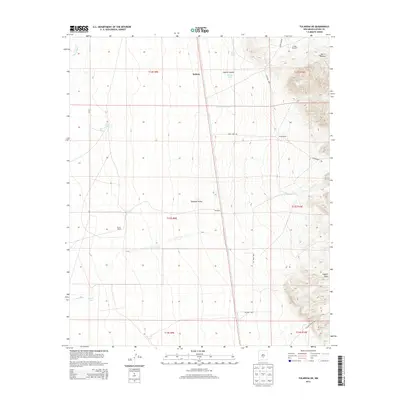
2013 Map of Tularosa NE
USGS Topo · Published 2013About this map
Salinas and the outlying Stover Ranch anchor this arid landscape within the Tularosa Valley. The map details a vital network of water sources essential for ranching and survival in the high desert, including Cowen Spring, West Spring, and the Crosby Windmill. To the east, the terrain rises toward the slopes of Sierra Blanca, while the southern reaches are marked by the Coyote Hills. Drainage patterns like the Salinas Draw and Temporal Cr define the seasonal flow of water across the basin.
Find a feature on this map
29 named features on this map. Tap any name to fly to it.
Don’t see what you’re looking for? This feature index may not catch every label — zoom into the map to look around manually.
Map Details
Editions of this 2013 Tularosa NE Map
This is the sole edition of this map. No revisions or reprints were ever made.
Other maps of this area

1916 · Tularosa
USGS Topo · 1:125,000

1947 · Three Rivers
USGS Topo · 1:62,500

1948 · Tularosa
USGS Topo · 1:62,500

1950 · Three Rivers
USGS Topo · 1:24,000

1950 · Sierra Blanca Peak
USGS Topo · 1:62,500

1950 · Mescalero
USGS Topo · 1:62,500

1954 · Tularosa
USGS Topo · 1:250,000

1955 · Roswell
USGS Topo · 1:250,000

1958 · Roswell
USGS Topo · 1:250,000

1958 · Tularosa
USGS Topo · 1:250,000