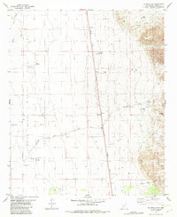
1982 Map of Tularosa NE
USGS Topo · Published 1982About this map
The eastern reaches of the White Sands Missile Range dominate the western half of this landscape, where the flat basin floor meets the rising desert foothills. Across this arid expanse, water remains the primary driver of development and naming, with numerous family-named landmarks and water sources scattered throughout the terrain. Ranching history is evident at Stover Ranch, supported by a network of vital springs and wells such as Chosa Spring, Cowen Spring, and the Crosby Windmill.
Find a feature on this map
26 named features on this map. Tap any name to fly to it.
Don’t see what you’re looking for? This feature index may not catch every label — zoom into the map to look around manually.
Map Details
Editions of this 1982 Tularosa NE Map
This is the sole edition of this map. No revisions or reprints were ever made.
Other maps of this area

1916 · Tularosa
USGS Topo · 1:125,000

1947 · Three Rivers
USGS Topo · 1:62,500

1948 · Tularosa
USGS Topo · 1:62,500

1950 · Three Rivers
USGS Topo · 1:24,000

1950 · Sierra Blanca Peak
USGS Topo · 1:62,500

1950 · Mescalero
USGS Topo · 1:62,500

1954 · Tularosa
USGS Topo · 1:250,000

1955 · Roswell
USGS Topo · 1:250,000

1958 · Roswell
USGS Topo · 1:250,000

1958 · Tularosa
USGS Topo · 1:250,000