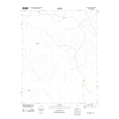
2011 Map of Tule Canyon
USGS Topo · Published 2011About this map
Tule Post Office sits as a solitary point of human infrastructure in this arid corner of Inyo County, marking a landscape defined by high elevations and sparse water sources. The terrain is dominated by the Cucomungo Mountains, which give way to deep drainages like Tule Canyon and Last Chance Canyon to the south. Survival in this environment historically centered on reliable water sources, indicated by a series of named locations including Wild Rose Spring, Stockade Spring, and O'Hara Spring. These features, along with Cottonwood Creek, suggest the vital corridors used by early travelers and surveyors navigating over Tule Summit in a region where the availability of water dictated the path of every road and settlement.
Find a feature on this map
11 named features on this map. Tap any name to fly to it.
Don’t see what you’re looking for? This feature index may not catch every label — zoom into the map to look around manually.
Map Details
Editions of this 2011 Tule Canyon Map
This is the sole edition of this map. No revisions or reprints were ever made.
Other maps of this area

1908 · Lida
USGS Topo · 1:250,000

1913 · Lida
USGS Topo · 1:250,000

1954 · Goldfield
USGS Topo · 1:250,000

1955 · Goldfield
USGS Topo · 1:250,000

1957 · Magruder Mtn
USGS Topo · 1:62,500

1957 · Ubehebe Crater
USGS Topo · 1:62,500

1958 · Goldfield
USGS Topo · 1:250,000

1958 · Last Chance Range
USGS Topo · 1:62,500

1962 · Goldfield
USGS Topo · 1:250,000

1968 · Lida
USGS Topo · 1:24,000