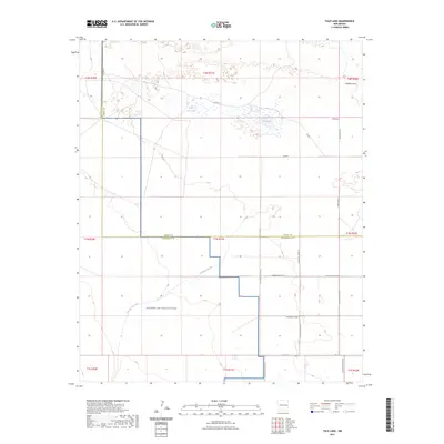
2023 Map of Tule Lake
USGS Topo · Published 2023About this map
Melrose Air Force Range occupies the southern half of this landscape, marking a significant military presence where the High Plains terrain meets tactical utility. This High Plains environment is defined by its subtle drainage patterns, most notably the seasonal waters of Tule Lake and Little Tule Lake in the north. These ephemeral basins, along with the channel of Cañada del Tule, illustrate the delicate hydrology of the Llano Estacado. The area is divided by the strictly gridded boundaries of Roosevelt and Curry Counties, with Co Line Rd tracing the northward division. The map provides a clear look at the intersection of rural infrastructure and federal land use, showing how local routes like Sundale Valley Rd and Curry Road Aj navigate the edges of the military reservation and the natural draws of the plateau.
Find a feature on this map
30 named features on this map. Tap any name to fly to it.
Don’t see what you’re looking for? This feature index may not catch every label — zoom into the map to look around manually.
Map Details
Editions of this 2023 Tule Lake Map
This is the sole edition of this map. No revisions or reprints were ever made.
Other maps of this area

1954 · Clovis
USGS Topo · 1:250,000

1957 · Melrose
USGS Topo · 1:62,500

1958 · Clovis
USGS Topo · 1:250,000

1972 · Melrose East
USGS Topo · 1:24,000

1973 · Floyd
USGS Topo · 1:24,000

1973 · Krider
USGS Topo · 1:24,000

1973 · Melrose West
USGS Topo · 1:24,000

1973 · Tule Lake
USGS Topo · 1:24,000

1973 · Gammil Well NE
USGS Topo · 1:24,000

1973 · Upton
USGS Topo · 1:24,000