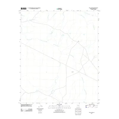
2011 Map of Tule Tubs
USGS Topo · Published 2011About this map
Ash Flat dominates the eastern high desert landscape in this remote corner of Graham County, defined by a complex network of intermittent drainages. The convergence of North Fork Ash Creek and South Fork Ash Creek shapes the local topography, creating a watershed characterized by numerous man-made and natural water points. These features, such as Tule Tank, Soldier Hole Tank, and Hooker Gap Charco, indicate the land's primary utility for seasonal grazing and water management. Access to this arid region is facilitated primarily by Indian Rte 8, which traverses the southern portion of the sheet. Small named locales like Tule Tubs and Tule Springs serve as isolated landmarks within a landscape otherwise sparse of human settlement, illustrating the expansive, undeveloped character of this Arizona interior during the early 21st century.
Find a feature on this map
17 named features on this map. Tap any name to fly to it.
Don’t see what you’re looking for? This feature index may not catch every label — zoom into the map to look around manually.
Map Details
Editions of this 2011 Tule Tubs Map
This is the sole edition of this map. No revisions or reprints were ever made.
Other maps of this area

1954 · Clifton
USGS Topo · 1:250,000

1954 · Mesa
USGS Topo · 1:250,000

1957 · Mesa
USGS Topo · 1:250,000

1957 · Clifton
USGS Topo · 1:250,000

1958 · Clifton
USGS Topo · 1:250,000

1958 · Mesa
USGS Topo · 1:250,000

1960 · Mesa
USGS Topo · 1:250,000

1960 · Bylas
USGS Topo · 1:62,500

1960 · Fort Thomas
USGS Topo · 1:62,500

1962 · Clifton
USGS Topo · 1:250,000