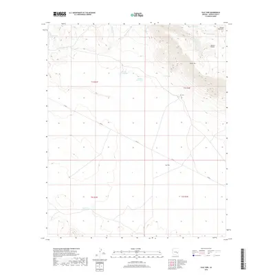
2018 Map of Tule Tubs
USGS Topo · Published 2018About this map
Nantac Rim and the Natanes Plateau dominate this 2018 survey of eastern Arizona, where high-elevation landforms transition into the wide expanse of Ash Flat. The geography is defined by a sparse but vital network of water improvements essential for ranching and land management in this arid environment. Named water features like Rodeo Tank, Soldier Hole Tank, and the Pasture Five Charco indicate a landscape organized around livestock support.
Find a feature on this map
20 named features on this map. Tap any name to fly to it.
Don’t see what you’re looking for? This feature index may not catch every label — zoom into the map to look around manually.
Map Details
Editions of this 2018 Tule Tubs Map
This is the sole edition of this map. No revisions or reprints were ever made.
Other maps of this area

1954 · Clifton
USGS Topo · 1:250,000

1954 · Mesa
USGS Topo · 1:250,000

1957 · Mesa
USGS Topo · 1:250,000

1957 · Clifton
USGS Topo · 1:250,000

1958 · Clifton
USGS Topo · 1:250,000

1958 · Mesa
USGS Topo · 1:250,000

1960 · Mesa
USGS Topo · 1:250,000

1960 · Bylas
USGS Topo · 1:62,500

1960 · Fort Thomas
USGS Topo · 1:62,500

1962 · Clifton
USGS Topo · 1:250,000