Loading...
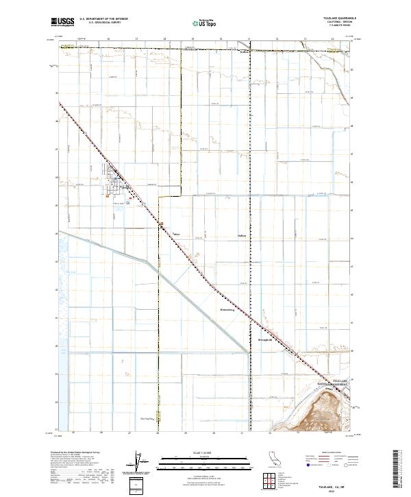
Loading map...2022 Map of Tulelake
USGS Topo · Published 2022About this map
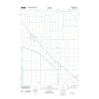
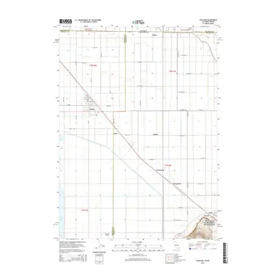
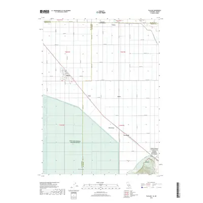
Tulelake serves as the primary hub in this reclaimed agricultural landscape along the California-Oregon border. The region's history is deeply tied to the management of Tule Lake, much of which is now preserved within the Tule Lake National Wildlife Refuge. The map illustrates a highly organized grid of rural roads such as Modoc Ave and Osborne Rd, supporting a series of small settlements including Stronghold, Homestead, and Tuber.
Find a feature on this map
60 named features on this map. Tap any name to fly to it.
Don’t see what you’re looking for? This feature index may not catch every label — zoom into the map to look around manually.
Map Details
Date Portrayed2022
Date Published2022
PublisherU.S. Geological Survey
Map TypeTopographic
Scale1:24,000
Physical Dimensions24 x 29 inches
Editions of this 2022 Tulelake Map
This is the sole edition of this map. No revisions or reprints were ever made.
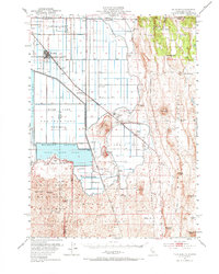
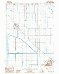
Historical Maps of Tulelake Through Time
7 maps found
Featured Locations
Source Details
SourceU.S. Geological Survey
CopyrightPublic Domain