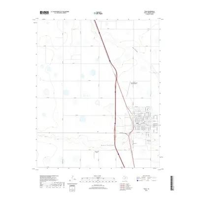
2019 Map of Tulia
USGS Topo · Published 2019About this map
The High Plains city of Tulia serves as the focal point of this 2019 survey, illustrating the grid layout and modern transportation corridors of Swisher County. The landscape is defined by the ephemeral courses of North Tule Draw and Middle Tule Draw, which cross the otherwise level terrain. To the south of the main residential area, Rose Hill Cem provides a point of genealogical interest for local researchers. The region's connection to aviation and agriculture is evidenced by the presence of both the City of Tulia/Swisher County Municipal Airport and the smaller Vaughn Farm Airport located further south. A dense network of county roads, such as Co RD J and Co RD R, sections off the surrounding farmland, reflecting the persistent importance of the cattle and grain industries to this Texas Panhandle community.
Find a feature on this map
41 named features on this map. Tap any name to fly to it.
Don’t see what you’re looking for? This feature index may not catch every label — zoom into the map to look around manually.
Map Details
Editions of this 2019 Tulia Map
This is the sole edition of this map. No revisions or reprints were ever made.
Other maps of this area
1954 · Plainview
USGS Topo · 1:250,000
1958 · Plainview
USGS Topo · 1:250,000
1965 · Edmonson NE
USGS Topo · 1:24,000
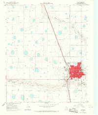
1965 · Tulia
USGS Topo · 1:24,000
1965 · Lakeview
USGS Topo · 1:24,000
1965 · Happy
USGS Topo · 1:24,000
1965 · Center Plains School
USGS Topo · 1:24,000
1966 · Tulia NW
USGS Topo · 1:24,000
1968 · Tule Lake
USGS Topo · 1:24,000
1969 · Tule Lake NW
USGS Topo · 1:24,000