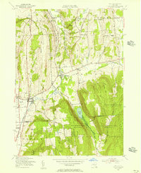
1955 Map of Tully
USGS Topo · Published 1956About this map
Tully and its surrounding highlands in Onondaga and Cortland Counties appear here in a mid-century topographic study. The landscape is defined by the steep north-south valleys of Clark Hollow and Markham Hollow, which separate prominent rises like Meeker Hill and Fellows Hill. The Delaware Lackawanna and Western railroad corridor serves as a primary transit spine, passing through the village of Tully and the smaller depot at Apulia Station.
Find a feature on this map
54 named features on this map. Tap any name to fly to it.
Don’t see what you’re looking for? This feature index may not catch every label — zoom into the map to look around manually.
Map Details
Editions of this 1955 Tully Map
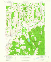
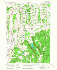
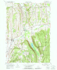
4 editions found
Other maps of this area
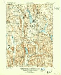
1897 · Cazenovia
USGS Topo · 1:62,500
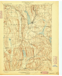
1899 · Cazenovia
USGS Topo · 1:62,500
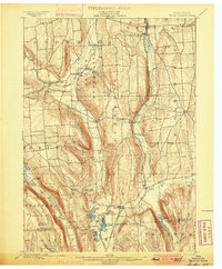
1900 · Tully
USGS Topo · 1:62,500
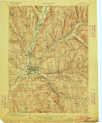
1903 · Cortland
USGS Topo · 1:62,500
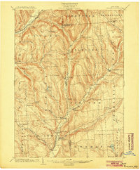
1904 · Pitcher
USGS Topo · 1:62,500
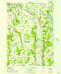
1942 · Oran
USGS Topo · 1:24,000
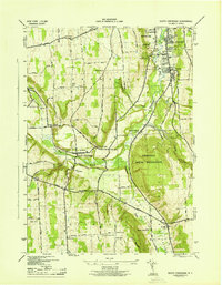
1943 · South Onondaga
USGS Topo · 1:31,680
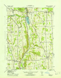
1943 · Jamesville
USGS Topo · 1:31,680
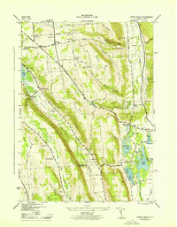
1943 · Otisco Valley
USGS Topo · 1:31,680
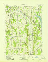
1943 · Oran
USGS Topo · 1:31,680