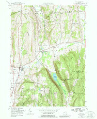
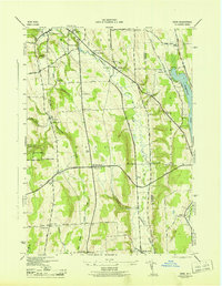
1955 Map of Tully
USGS Topo · Published 1988About this map
Labrador Hollow and its dramatic glacial valley define this mid-century view of Onondaga and Cortland counties. The landscape transitions from the agricultural flats of Tully and Tully Center to the high ridges of Jones Hill and Fellows Hill. This map reveals a mid-century period where rural infrastructure was well-established, showing the Delaware Lackawanna And Western railroad and the Lehigh Valley line intersecting at the foot of Meeker Hill. Cultural landmarks such as the State College Experimental Station and the N Y State College of Forestry indicate the region's importance for agricultural and silvicultural research. Smaller settlements like Apulia Station, Berwyn, and Collingwood are documented alongside historic burials at Apulia Cem and Berwyn Cem, providing a clear look at the social and economic geography of Central New York before more modern development altered these traditional transit and farming corridors.
Find a feature on this map
54 named features on this map. Tap any name to fly to it.
Don’t see what you’re looking for? This feature index may not catch every label — zoom into the map to look around manually.
Map Details
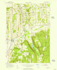
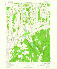
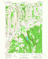
Editions of this 1955 Tully Map
4 editions found
Other maps of this area

1897 · Cazenovia
USGS Topo · 1:62,500

1899 · Cazenovia
USGS Topo · 1:62,500

1900 · Tully
USGS Topo · 1:62,500

1903 · Cortland
USGS Topo · 1:62,500

1904 · Pitcher
USGS Topo · 1:62,500

1942 · Oran
USGS Topo · 1:24,000

1943 · South Onondaga
USGS Topo · 1:31,680

1943 · Jamesville
USGS Topo · 1:31,680

1943 · Otisco Valley
USGS Topo · 1:31,680
1943 · Oran
USGS Topo · 1:31,680