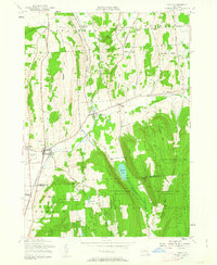
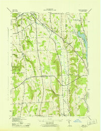
1955 Map of Tully
USGS Topo · Published 1963About this map
The Delaware Lackawanna and Western railroad corridor anchors the valley floor through this mid-century survey of the Onondaga and Cortland county line. The landscape is defined by its educational and conservation history, featuring the State College Experimental Station and the N Y State College of Forestry, alongside several vast blocks of the State Reforestation Area. This era shows a transition from rural agricultural hamlets like Collingwood and Berwyn toward specialized land use, including the protected waters of Labrador Pond and the geologic landmark of The Pinnacle. The map provides specific detail for genealogists via numerous small burial grounds, including St Leo Cem, Apulia Cem, and Meeker Cem. Significant relief is evident across the heights of Jones Hill and Fellows Hill, while the local transportation network is marked by descriptive routes like Telephone Street and Markham Hollow Road.
Find a feature on this map
55 named features on this map. Tap any name to fly to it.
Don’t see what you’re looking for? This feature index may not catch every label — zoom into the map to look around manually.
Map Details
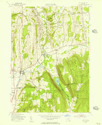
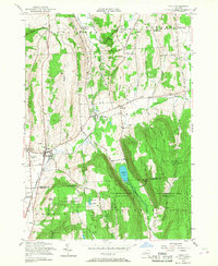
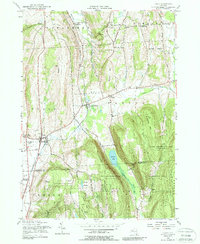
Editions of this 1955 Tully Map
4 editions found
Other maps of this area

1897 · Cazenovia
USGS Topo · 1:62,500

1899 · Cazenovia
USGS Topo · 1:62,500

1900 · Tully
USGS Topo · 1:62,500

1903 · Cortland
USGS Topo · 1:62,500

1904 · Pitcher
USGS Topo · 1:62,500

1942 · Oran
USGS Topo · 1:24,000

1943 · South Onondaga
USGS Topo · 1:31,680

1943 · Jamesville
USGS Topo · 1:31,680

1943 · Otisco Valley
USGS Topo · 1:31,680
1943 · Oran
USGS Topo · 1:31,680