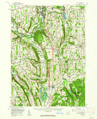
1955 Map of Tully
USGS Topo · Published 1961About this map
The Onondaga Indian Reservation occupies a significant portion of this landscape, situated just south of the expanding Syracuse city limits and the industrial activity near Nedrow. The terrain is defined by deep north-south glacial valleys, including the Tully Valley and the basin containing Otisco Lake. Civil infrastructure of the mid-20th century is evident through the Onondaga Creek Flood Control Dam and the County Penitentiary located near Jamesville. Transportation and utility networks are well-established, featuring the Erie-Lackawanna railroad line and prominent telecommunications installations like the Radio Tower (WSYR) and several television towers atop Sentinel Heights. Institutional land use is represented by the State College Exper Station and recreational hubs such as Camp Hoover and Jamesville Beach. Numerous small hamlets like Baileys Settlement, Pompey, and La Fayette serve as anchors for the surrounding agricultural and reforested lands.
Find a feature on this map
127 named features on this map. Tap any name to fly to it.
Don’t see what you’re looking for? This feature index may not catch every label — zoom into the map to look around manually.
Map Details
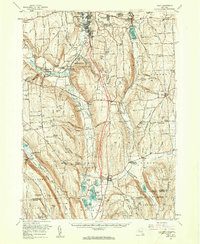
Editions of this 1955 Tully Map
2 editions found
Other maps of this area

1895 · Chittenango
USGS Topo · 1:62,500

1895 · Syracuse
USGS Topo · 1:62,500

1897 · Cazenovia
USGS Topo · 1:62,500

1898 · Syracuse
USGS Topo · 1:62,500

1898 · Moravia
USGS Topo · 1:62,500

1898 · Chittenango
USGS Topo · 1:62,500

1899 · Skaneateles
USGS Topo · 1:62,500

1899 · Cazenovia
USGS Topo · 1:62,500

1900 · Baldwinsville
USGS Topo · 1:62,500

1900 · Tully
USGS Topo · 1:62,500