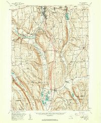
1955 Map of Tully
USGS Topo · Published 1961About this map
Onondaga Indian Reservation anchors the central landscape of this mid-century survey, positioned south of the Syracuse city limits and Nedrow. The terrain is defined by deep glacial valleys and limestone uplands, where Onondaga Creek flows toward the Onondaga Creek Flood Control Dam near Onondaga Castle. Transport in the era is dominated by the Erie-Lackawanna railroad winding through Apulia Station and the newly aligned interstate corridor. To the south, the
Find a feature on this map
125 named features on this map. Tap any name to fly to it.
Don’t see what you’re looking for? This feature index may not catch every label — zoom into the map to look around manually.
Map Details
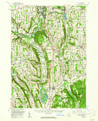
Editions of this 1955 Tully Map
2 editions found
Other maps of this area

1895 · Chittenango
USGS Topo · 1:62,500

1895 · Syracuse
USGS Topo · 1:62,500

1897 · Cazenovia
USGS Topo · 1:62,500

1898 · Syracuse
USGS Topo · 1:62,500

1898 · Moravia
USGS Topo · 1:62,500

1898 · Chittenango
USGS Topo · 1:62,500

1899 · Skaneateles
USGS Topo · 1:62,500

1899 · Cazenovia
USGS Topo · 1:62,500

1900 · Baldwinsville
USGS Topo · 1:62,500

1900 · Tully
USGS Topo · 1:62,500