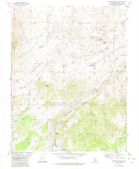
1982 Map of Tungsten Hills
USGS Topo · Published 1983About this map
The Tungsten Hills define this High Sierra landscape, where industrial extraction and mountain recreation meet on the eastern edge of the Inyo National Forest. Published in the early 1980s, the map documents a dense network of mining operations along the northern slopes, including the Tungsten Blue Mine, Aeroplane Mine, and White Caps Mine. These sites, linked by numerous 4wd tracks, reflect the region's historical reliance on tungsten ore. In the south, the terrain shifts toward high-altitude hydrology and public use. The complex water system is mapped through the Aqueduct and Penstock lines following Bishop Creek, while leisure sites like Big Trees Campground and Forks Campground occupy the sheltered meadows near the South Fork. The map's detail is particularly useful for identifying the specific locations of family-named landmarks like Longley Meadow and Dutch Johns Meadow.
Find a feature on this map
51 named features on this map. Tap any name to fly to it.
Don’t see what you’re looking for? This feature index may not catch every label — zoom into the map to look around manually.
Map Details
Editions of this 1982 Tungsten Hills Map
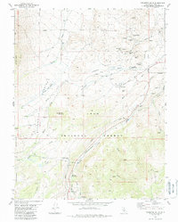
2 editions found
Other maps of this area

1912 · Mt. Goddard
USGS Topo · 1:125,000

1913 · Bishop
USGS Topo · 1:125,000

1947 · Mariposa
USGS Topo · 1:250,000

1948 · Mariposa
USGS Topo · 1:250,000

1948 · Mt. Goddard
USGS Topo · 1:62,500

1949 · Mt. Tom
USGS Topo · 1:62,500

1949 · Bishop
USGS Topo · 1:62,500

1950 · Big Pine
USGS Topo · 1:62,500

1951 · Mt. Tom
USGS Topo · 1:62,500

1951 · Mt. Goddard
USGS Topo · 1:62,500