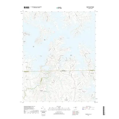
2019 Map of Tungsten
USGS Topo · Published 2019About this map
John H. Kerr Reservoir dominates this landscape along the state line where Virginia and North Carolina meet, its intricate shoreline creating numerous peninsulas and islands. Named landforms like Clydes Island, Goats Island, Big Island, and Cooper Island rise from the water, reflecting the topographic changes brought about by the damming of the Roanoke River system. The area is characterized by these complex water boundaries, where Island Creek and Gilliams Br feed into the expansive reservoir.
Find a feature on this map
77 named features on this map. Tap any name to fly to it.
Don’t see what you’re looking for? This feature index may not catch every label — zoom into the map to look around manually.
Map Details
Editions of this 2019 Tungsten Map
This is the sole edition of this map. No revisions or reprints were ever made.
Other maps of this area

1941 · Clarksville
USGS Topo · 1:48,000

1943 · Clarksville
USGS Topo · 1:62,500

1953 · Oxford
USGS Topo · 1:62,500

1953 · Greensboro
USGS Topo · 1:250,000

1954 · Greensboro
USGS Topo · 1:250,000

1955 · Boydton
USGS Topo · 1:62,500

1957 · Clarksville
USGS Topo · 1:62,500

1962 · Greensboro
USGS Topo · 1:250,000

1966 · Greensboro
USGS Topo · 1:250,000

1966 · Oxford
USGS Topo · 1:62,500