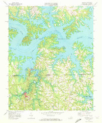
1968 Map of Tungsten
USGS Topo · Published 1972About this map
The borderlands of Mecklenburg County, Virginia, and Vance County, North Carolina, are defined here by the intricate shoreline of the John H Kerr Reservoir. In the late 1960s, the landscape centered on industrial extraction and small rural congregations. The settlement of Tungsten is a focal point, supported by an adjacent Mine, Quarry, and a Tailings Pond, indicating the specialized mining operations that gave the town its name. An Old Railroad Grade and an Air Shaft further mark the area's subterranean history.
Find a feature on this map
48 named features on this map. Tap any name to fly to it.
Don’t see what you’re looking for? This feature index may not catch every label — zoom into the map to look around manually.
Map Details
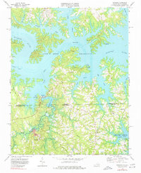
Editions of this 1968 Tungsten Map
2 editions found
Other maps of this area

1941 · Clarksville
USGS Topo · 1:48,000

1943 · Clarksville
USGS Topo · 1:62,500

1953 · Oxford
USGS Topo · 1:62,500

1953 · Greensboro
USGS Topo · 1:250,000

1954 · Greensboro
USGS Topo · 1:250,000

1955 · Boydton
USGS Topo · 1:62,500

1957 · Clarksville
USGS Topo · 1:62,500

1962 · Greensboro
USGS Topo · 1:250,000

1966 · Greensboro
USGS Topo · 1:250,000

1966 · Oxford
USGS Topo · 1:62,500