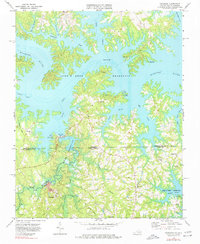
1968 Map of Tungsten
USGS Topo · Published 1977About this map
The John H Kerr Reservoir dominates the landscape along the Virginia-North Carolina border, where the flooded Roanoke River valley creates an intricate shoreline of peninsulas like Panhandle and Ivy Hill. This 1960s survey illustrates a specialized industrial landscape at Tungsten, where a Shaft, Mine, and Tailings Pond sit near the Mecklenburg and Granville county line. The infrastructure of the era is evident in the Island Creek Dam and its associated Pumping Sta, reflecting the mid-century transformation of the Roanoke basin into a series of managed reservoirs and public recreation areas like Hibernia Public Use Area. Local heritage is anchored by rural landmarks such as Island Hill Ch and Antioch Ch, alongside an Old Railroad Grade that traces a former transportation corridor through the hills near Woodworth.
Find a feature on this map
48 named features on this map. Tap any name to fly to it.
Don’t see what you’re looking for? This feature index may not catch every label — zoom into the map to look around manually.
Map Details
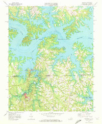
Editions of this 1968 Tungsten Map
2 editions found
Other maps of this area

1941 · Clarksville
USGS Topo · 1:48,000

1943 · Clarksville
USGS Topo · 1:62,500

1953 · Oxford
USGS Topo · 1:62,500

1953 · Greensboro
USGS Topo · 1:250,000

1954 · Greensboro
USGS Topo · 1:250,000

1955 · Boydton
USGS Topo · 1:62,500

1957 · Clarksville
USGS Topo · 1:62,500

1962 · Greensboro
USGS Topo · 1:250,000

1966 · Greensboro
USGS Topo · 1:250,000

1966 · Oxford
USGS Topo · 1:62,500