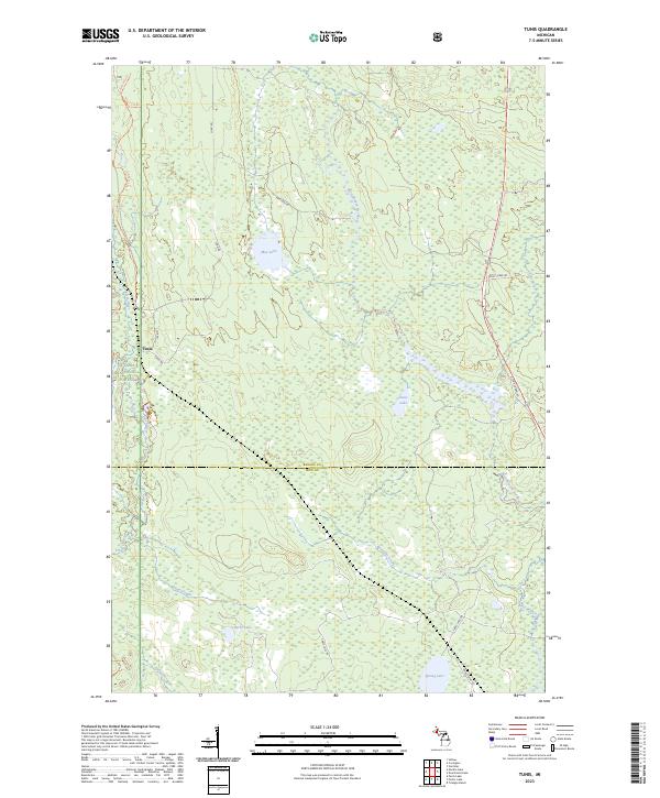
2023 Map of Tunis
USGS Topo · Published 2023About this map
The settlement of Tunis sits on the western edge of this Upper Peninsula landscape, where the Ottawa National Forest covers much of the terrain. This modern survey illustrates the complex hydrology of the Baraga and Iron County border, characterized by a dense network of wetlands and small water bodies. Notable among these are May Lake, Saine Lake, and Herbs Lake, which drain through various tributaries like Farley Creek and the West Branch Net River. The map reveals how local infrastructure has adapted to this water-heavy environment, with roads such as Net River Dam Rd and Cable Lake Rd navigating between basins. Distinctive features like the Dead Slough and Reservoir Creek highlight the drainage patterns that define this forested region, providing a clear view of the area's contemporary geography and forest management boundaries.
Find a feature on this map
24 named features on this map. Tap any name to fly to it.
Don’t see what you’re looking for? This feature index may not catch every label — zoom into the map to look around manually.
Map Details
Editions of this 2023 Tunis Map
This is the sole edition of this map. No revisions or reprints were ever made.
Other maps of this area

1895 · Ned Lake
USGS Topo · 1:62,500

1895 · Perch Lake
USGS Topo · 1:62,500

1954 · Perch Lake
USGS Topo · 1:62,500

1954 · Sidnaw
USGS Topo · 1:62,500

1955 · Ned Lake
USGS Topo · 1:62,500

1955 · Herman
USGS Topo · 1:62,500

1958 · Iron River
USGS Topo · 1:250,000

1960 · Iron River
USGS Topo · 1:250,000

1961 · Iron River
USGS Topo · 1:250,000

1967 · Iron River
USGS Topo · 1:250,000