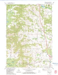
1983 Map of Tunnel City
USGS Topo · Published 1984About this map
The rail lines of the Chicago and North Western and the Milwaukee St Paul and Pacific converge at Tunnel City, a rail-defined settlement in western Wisconsin. The landscape transition between the Fort McCoy Military Reservation and the surrounding farmland is marked by several family and township cemeteries, including Boyonton Cem and Warrens Mills Cem.
Find a feature on this map
48 named features on this map. Tap any name to fly to it.
Don’t see what you’re looking for? This feature index may not catch every label — zoom into the map to look around manually.
Map Details
Editions of this 1983 Tunnel City Map
This is the sole edition of this map. No revisions or reprints were ever made.
Other maps of this area

1916 · Tomah
USGS Topo · 1:62,500

1919 · Kendall
USGS Topo · 1:62,500

1921 · Kendall
USGS Topo · 1:62,500

1947 · Millston
USGS Topo · 1:62,500

1949 · Millston
USGS Topo · 1:62,500

1949 · Tomah
USGS Topo · 1:62,500

1953 · Eau Claire
USGS Topo · 1:250,000

1958 · Eau Claire
USGS Topo · 1:250,000

1958 · Wyeville
USGS Topo · 1:48,000

1958 · La Crosse
USGS Topo · 1:250,000