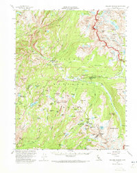
1956 Map of Tuolumne Meadows
USGS Topo · Published 1973About this map
Tuolumne Meadows serves as the central hub of high-altitude activity in this 1950s survey of the High Sierra. The map details a network of high-country outposts including Glen Aulin High Sierra Camp, May Lake High Sierra Camp, and Vogelsang High Sierra Camp, illustrating the established hiking and pack-train culture of the era. Settlement footprints are sparse, represented by the Parsons Memorial Lodge and the high-elevation site of Bennettville near the park's eastern boundary.
Find a feature on this map
159 named features on this map. Tap any name to fly to it.
Don’t see what you’re looking for? This feature index may not catch every label — zoom into the map to look around manually.
Map Details
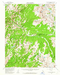
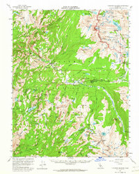
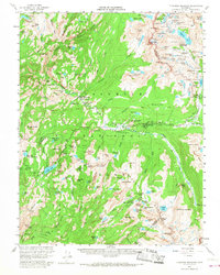
Editions of this 1956 Tuolumne Meadows Map
5 editions found

Other maps of this area

1896 · Dardanelles
USGS Topo · 1:125,000

1897 · Yosemite
USGS Topo · 1:125,000

1898 · Dardanelles
USGS Topo · 1:125,000

1900 · Yosemite
USGS Topo · 1:125,000

1901 · Mt. Lyell
USGS Topo · 1:125,000

1903 · Yosemite
USGS Topo · 1:125,000

1909 · Yosemite
USGS Topo · 1:125,000

1909 · Bridgeport
USGS Topo · 1:125,000

1911 · Bridgeport
USGS Topo · 1:125,000

1920 · Bridgeport
USGS Topo · 1:125,000