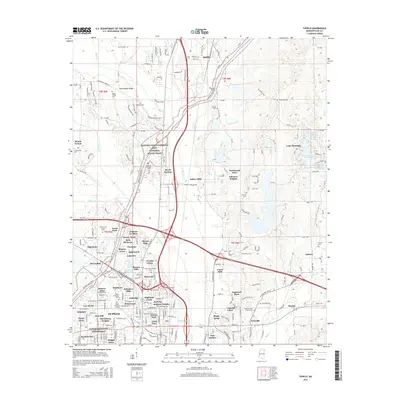
2015 Map of Tupelo
USGS Topo · Published 2015About this map
The Tupelo National Battlefield anchors the southern portion of this landscape, marking the historic Civil War site within a rapidly expanding residential grid. The city's growth is evident in the dense collection of named neighborhoods like Chateau Le Blanc, Savery Acres, and Belledeer Hills that surround the urban core. To the north, the terrain transitions into more rural areas near Saltillo and Birmingham Ridge, where the winding path of the Natchez Trace Pkwy and National Scenic Trail cuts through the countryside. This corridor follows a historic travel route, passing through a network of creeks such as Euelatubba Cr and Sand Cr. Numerous family and community burial grounds, including Fellowship Cem and Shipley Cem, are scattered across the quadrangle, providing valuable touchstones for genealogical research in this part of Lee County.
Find a feature on this map
136 named features on this map. Tap any name to fly to it.
Don’t see what you’re looking for? This feature index may not catch every label — zoom into the map to look around manually.
Map Details
Editions of this 2015 Tupelo Map
This is the sole edition of this map. No revisions or reprints were ever made.
Other maps of this area

1921 · Tupelo
USGS Topo · 1:48,000

1923 · Tupelo
USGS Topo · 1:62,500

1955 · Sherman
USGS Topo · 1:62,500

1956 · Tupelo
USGS Topo · 1:250,000

1958 · Tupelo
USGS Topo · 1:250,000

1965 · Mooreville
USGS Topo · 1:24,000

1966 · Evergreen
USGS Topo · 1:24,000

1966 · Bissell
USGS Topo · 1:24,000

1966 · Verona
USGS Topo · 1:24,000

1973 · Guntown
USGS Topo · 1:24,000