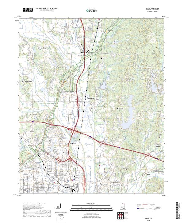
2024 Map of Tupelo
USGS Topo · Published 2024About this map
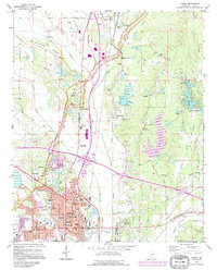
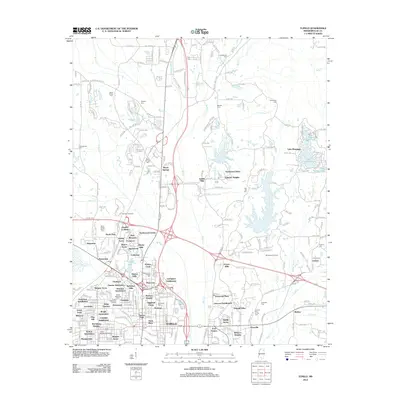
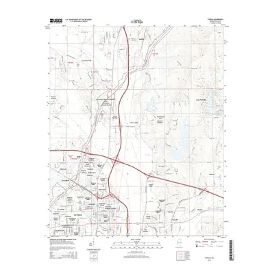
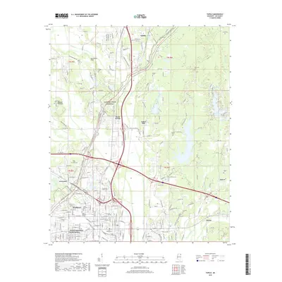
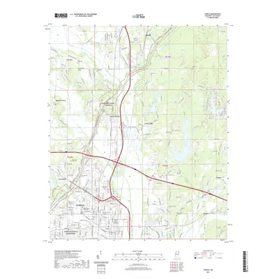
Tupelo National Battlefield sits at the heart of this landscape, marking the site where Civil War history intersects with modern Lee County development. The city of Tupelo is a central hub of transportation and commerce, framed by the winding Natchez Trace Parkway to the west and a complex network of waterways including Mud Creek and Town Creek. To the north, the community of Saltillo is situated near the confluence of Euclautubba Creek and Sand Creek, while the eastern portion of the map is defined by the expansive Lake Sequoyah. This modern survey reveals a dense concentration of historical burial grounds, such as the Kyle Cem, Bolin Family Cem, and Stevensons Chapel Cem, which offer significant value for genealogical research. The varied topography of Birmingham Ridge and the outlying settlements like Skyline and Beech Springs illustrate the enduring pattern of community growth across the Mississippi hills.
Find a feature on this map
47 named features on this map. Tap any name to fly to it.
Don’t see what you’re looking for? This feature index may not catch every label — zoom into the map to look around manually.
Map Details
Editions of this 2024 Tupelo Map
This is the sole edition of this map. No revisions or reprints were ever made.
Historical Maps of Tupelo Through Time
13 maps found
1921 Tupelo
Lee County, MS

1923 Tupelo
Lee County, MS
1956 Tupelo
Lee County, MS

1958 Tupelo
Lee County, MS
1973 Tupelo
Lee County, MS

1984 Tupelo
Lee County, MS

1984 Tupelo
Lee County, MS
1992 Tupelo
Lee County, MS
2012 Tupelo
Lee County, MS
2015 Tupelo
Lee County, MS
2018 Tupelo
Lee County, MS
2021 Tupelo
Lee County, MS
2024 Tupelo
Lee County, MS