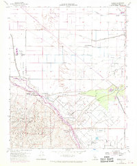
1954 Map of Tupman
USGS Topo · Published 1970About this map
The settlement of Tupman serves as the focal point for this landscape where industrial extraction and conservation collide. Significant portions of the map are dedicated to the North Coles Levee Oil Field and the South Coles Levee Oil Field, illustrating the intensive petroleum development within the Naval Petroleum Reserve No 1. Amidst this industrial footprint, the Tule Elk Reserve State Park provides a notable contrast in land use, while small enclaves like the Mesquite Hunting Club and Western Water Co Camp suggest the specialized communities that formed in this part of Kern County.
Find a feature on this map
34 named features on this map. Tap any name to fly to it.
Don’t see what you’re looking for? This feature index may not catch every label — zoom into the map to look around manually.
Map Details
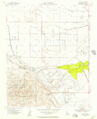
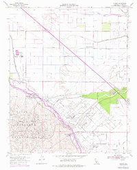
Editions of this 1954 Tupman Map
3 editions found
Other maps of this area

1910 · Buena Vista Lake
USGS Topo · 1:125,000

1912 · Buena Vista Lake
USGS Topo · 1:125,000

1929 · Stevens
USGS Topo · 1:31,680

1929 · Coles Levee
USGS Topo · 1:31,680

1929 · Mouth of Kern
USGS Topo · 1:31,680

1930 · Millux
USGS Topo · 1:31,680

1930 · Rosedale
USGS Topo · 1:31,680

1931 · Rio Bravo
USGS Topo · 1:31,680

1932 · East Elk Hills
USGS Topo · 1:31,680

1932 · Mouth of Kern
USGS Topo · 1:31,680