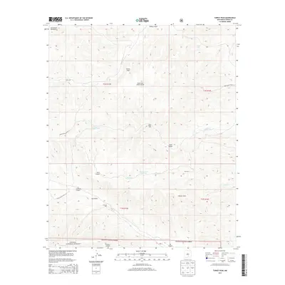
2013 Map of Turkey Peak
USGS Topo · Published 2013About this map
The high elevations of the Sacramento Mountains define this section of Otero County, much of which is managed as part of the Lincoln National Forest. The landscape is a network of deep drainages including Felix Canyon, Clement Canyon, and Crooked Canyon, all converging toward the seasonal flow of the Rio Felix. Water management is the primary sign of human activity in this arid high-country terrain, evidenced by numerous improved water sources.
Find a feature on this map
29 named features on this map. Tap any name to fly to it.
Don’t see what you’re looking for? This feature index may not catch every label — zoom into the map to look around manually.
Map Details
Editions of this 2013 Turkey Peak Map
This is the sole edition of this map. No revisions or reprints were ever made.
Other maps of this area

1952 · Cloudcroft
USGS Topo · 1:62,500

1954 · Carlsbad
USGS Topo · 1:250,000

1955 · Roswell
USGS Topo · 1:250,000

1958 · Carlsbad
USGS Topo · 1:250,000

1958 · Roswell
USGS Topo · 1:250,000

1962 · Roswell
USGS Topo · 1:250,000

1963 · Clements Ranch
USGS Topo · 1:24,000

1963 · Mayhill
USGS Topo · 1:24,000

1963 · Turkey Peak
USGS Topo · 1:24,000

1963 · Deadman Lake
USGS Topo · 1:24,000