
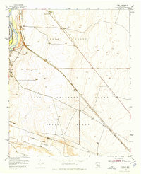
1952 Map of Turn
USGS Topo · Published 1953About this map
The Rio Grande and its intricate network of irrigation channels, including the Upper Sabinal Riverside Ditch and San Juan Canal, define this stretch of the river valley in the early 1950s. The settlement of Turn and the nearby Casa Colorada School anchor the community, situated between the river and the Atchison Topeka and Santa Fe railroad. The map reflects a landscape organized by Spanish land grants, specifically the Tome Grant, Casa Colorada Grant, and Belen Grant, whose boundaries intersect here near the Valencia Co Socorro Co line. While agriculture dominates the floodplain, the eastern uplands are marked by numerous windmills and an Airway Beacon No 20, signaling the intersection of traditional land use and mid-century navigation technology.
Find a feature on this map
20 named features on this map. Tap any name to fly to it.
Don’t see what you’re looking for? This feature index may not catch every label — zoom into the map to look around manually.
Map Details
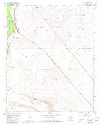
Editions of this 1952 Turn Map
3 editions found
Other maps of this area

1916 · La Joya
USGS Topo · 1:125,000

1952 · Tome SE
USGS Topo · 1:24,000

1952 · Black Butte
USGS Topo · 1:24,000

1952 · Tome NE
USGS Topo · 1:24,000

1952 · Belen
USGS Topo · 1:24,000

1952 · Veguita
USGS Topo · 1:24,000

1952 · Tome
USGS Topo · 1:24,000

1952 · Becker
USGS Topo · 1:24,000

1952 · Abeytas
USGS Topo · 1:24,000

1954 · Socorro
USGS Topo · 1:250,000