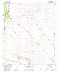
1952 Map of Turn
USGS Topo · Published 1980About this map
The Rio Grande corridor in central New Mexico defines this landscape, where irrigation infrastructure like the Jaral Lateral and Upper Sabinal Riverside Drain supports agriculture along the valley floor. The map covers a complex intersection of historic land divisions, including portions of the Tome Grant, Casa Colorada Grant, and Belen Grant. Small settlements such as Turn and Madrone are situated near the river, while the Atchison Topeka and Santa Fe railroad cuts a diagonal path across the arid terrain to the east, passing through Bodega. Infrastructure for early mid-century aviation and transit is evident through the Airway Beacon No 20 and a small Landing Strip. To the south, the Abo Arroyo marks the boundary near the Valencia Co Socorro Co line, illustrating the transition from the river valley to the higher, windmill-dotted grazing lands.
Find a feature on this map
25 named features on this map. Tap any name to fly to it.
Don’t see what you’re looking for? This feature index may not catch every label — zoom into the map to look around manually.
Map Details
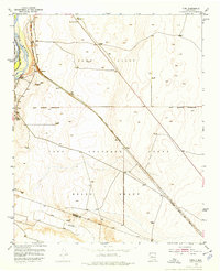
Editions of this 1952 Turn Map
3 editions found
Other maps of this area

1916 · La Joya
USGS Topo · 1:125,000

1952 · Tome SE
USGS Topo · 1:24,000

1952 · Black Butte
USGS Topo · 1:24,000

1952 · Tome NE
USGS Topo · 1:24,000

1952 · Belen
USGS Topo · 1:24,000

1952 · Turn
USGS Topo · 1:24,000

1952 · Veguita
USGS Topo · 1:24,000

1952 · Tome
USGS Topo · 1:24,000

1952 · Becker
USGS Topo · 1:24,000

1952 · Abeytas
USGS Topo · 1:24,000