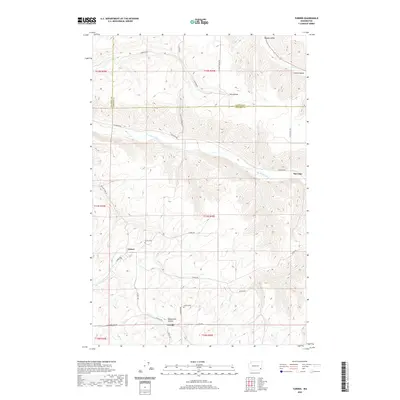
2020 Map of Turner
USGS Topo · Published 2020About this map
Turner and Covello sit within the high plateaus and deep drainages of Columbia County, where the topography is defined by the Tucannon River and its many tributary hollows. This landscape is a patchwork of agricultural highlands and winding valley roads, such as Jackson Rd and Tucannon Rd, that connect isolated settlements and ranch lands. The map reveals the historical placement of essential community landmarks, including the Turner Cem and the Covello Cem, which serve as anchors for genealogical research in this part of Washington. To the northeast, the Pataha Valley and Marengo mark the transition toward Garfield County, following the course of Pataha Cr. The complex network of coulees and ridges, from Dry Hollow to Whetstone Hollow, illustrates the difficulty of travel and the specialized settlement patterns required by the steep terrain of the Inland Northwest.
Find a feature on this map
36 named features on this map. Tap any name to fly to it.
Don’t see what you’re looking for? This feature index may not catch every label — zoom into the map to look around manually.
Map Details
Editions of this 2020 Turner Map
This is the sole edition of this map. No revisions or reprints were ever made.
Other maps of this area

1937 · Pomeroy
USGS Topo · 1:96,000

1942 · Pomeroy
USGS Topo · 1:125,000

1950 · Penawawa
USGS Topo · 1:62,500

1950 · Hay
USGS Topo · 1:62,500

1952 · Hay
USGS Topo · 1:62,500

1955 · Pullman
USGS Topo · 1:250,000

1958 · Pullman
USGS Topo · 1:250,000

1967 · Hopkins Ridge
USGS Topo · 1:24,000

1967 · Cahill Mtn
USGS Topo · 1:24,000

1967 · Turner
USGS Topo · 1:24,000