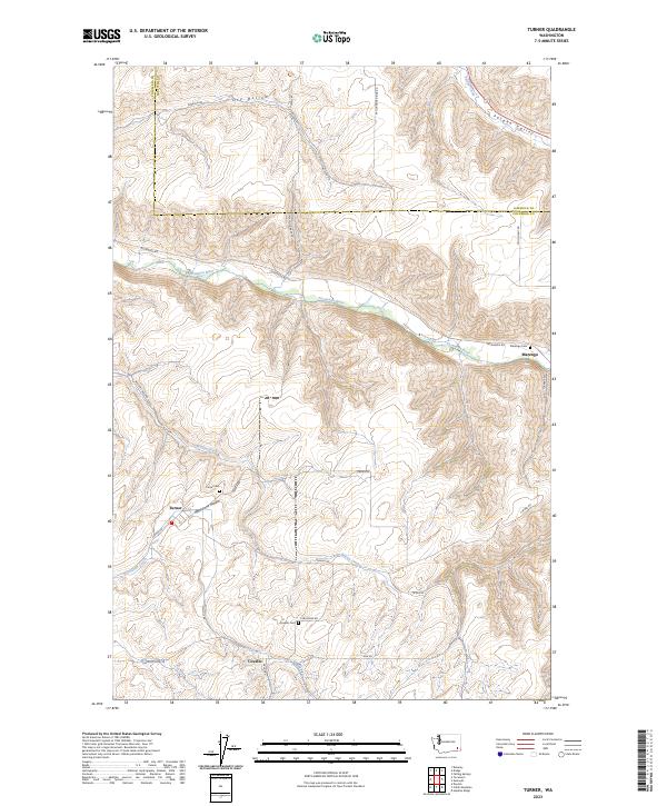
2023 Map of Turner
USGS Topo · Published 2023About this map
The Tucannon River cuts a deep, winding path through the plateau of southeastern Washington, anchoring the small settlements of Turner and Marengo. This 2023 survey illustrates the deeply etched drainages characteristic of the region, where Whetstone Hollow and Dry Hollow channel towards the river valley. The map is a vital record for family historians, documenting several rural burial grounds including Turner Cem, Marengo Cem, and Covello Cem.
Find a feature on this map
34 named features on this map. Tap any name to fly to it.
Don’t see what you’re looking for? This feature index may not catch every label — zoom into the map to look around manually.
Map Details
Editions of this 2023 Turner Map
This is the sole edition of this map. No revisions or reprints were ever made.
Other maps of this area

1937 · Pomeroy
USGS Topo · 1:96,000

1942 · Pomeroy
USGS Topo · 1:125,000

1950 · Penawawa
USGS Topo · 1:62,500

1950 · Hay
USGS Topo · 1:62,500

1952 · Hay
USGS Topo · 1:62,500

1955 · Pullman
USGS Topo · 1:250,000

1958 · Pullman
USGS Topo · 1:250,000

1967 · Hopkins Ridge
USGS Topo · 1:24,000

1967 · Cahill Mtn
USGS Topo · 1:24,000

1967 · Turner
USGS Topo · 1:24,000