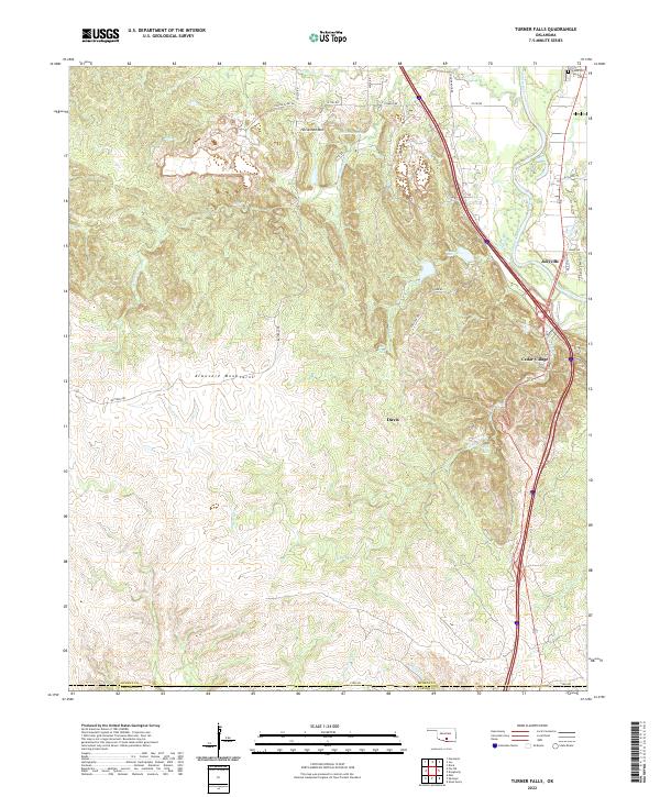
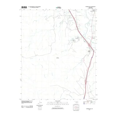
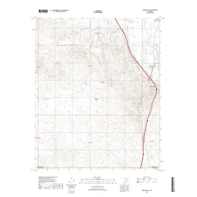
2022 Map of Turner Falls
USGS Topo · Published 2022About this map
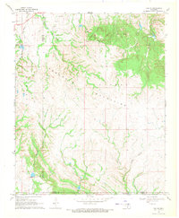
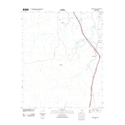
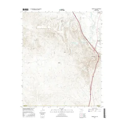
Turner Falls and the surrounding Arbuckle Mountains dominate this 2022 topographical study of south-central Oklahoma. The landscape is defined by the complex hydrology of Honey Cr, which creates several notable cascades including Bridal Veil Falls and Lick Creek Falls. This modern survey illustrates the proximity of these natural landmarks to the established settlements of Jollyville, Cedar Village, and the outskirts of Davis, showing the intersection of outdoor recreation areas and residential growth.
Find a feature on this map
37 named features on this map. Tap any name to fly to it.
Don’t see what you’re looking for? This feature index may not catch every label — zoom into the map to look around manually.
Map Details
Editions of this 2022 Turner Falls Map
This is the sole edition of this map. No revisions or reprints were ever made.
Historical Maps of Jollyville Through Time
24 maps found
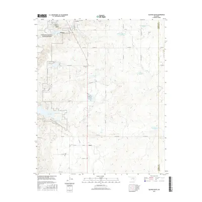
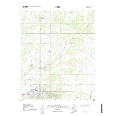
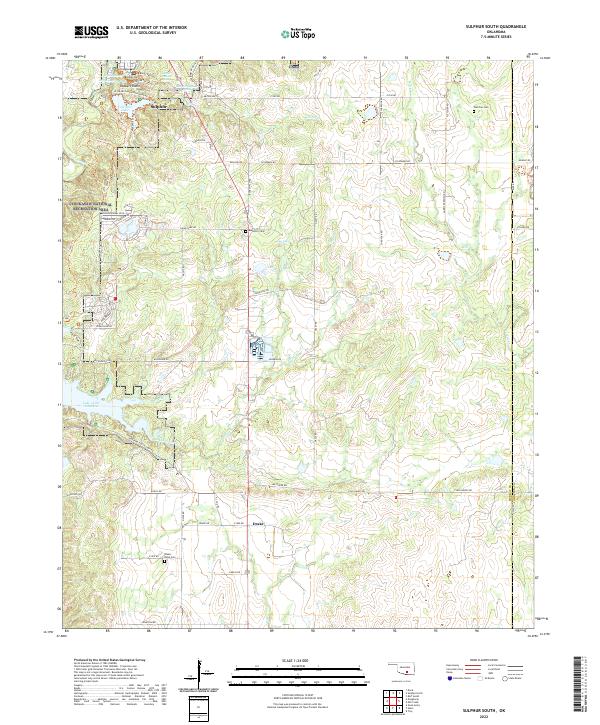
1963 Sulphur South
Murray County, OK
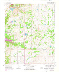
1964 Turner Falls
Murray County, OK
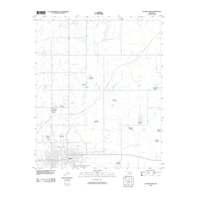
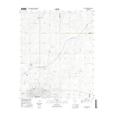
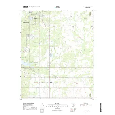
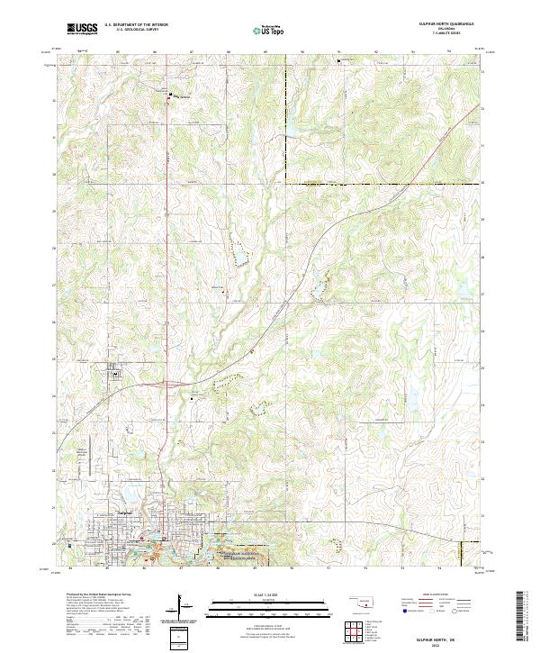
1967 Sulphur North
Murray County, OK
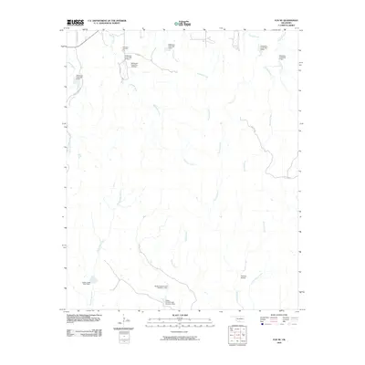
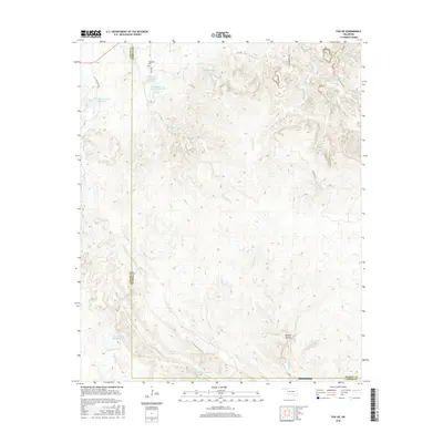
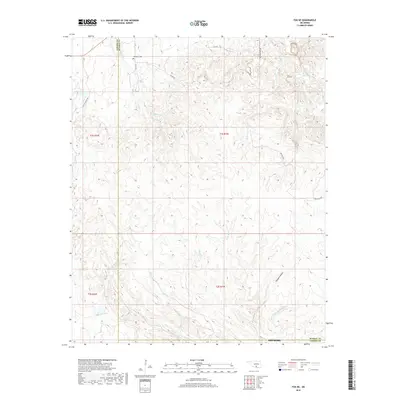
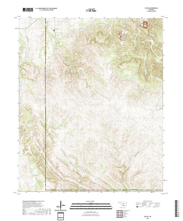
1968 Fox NE
Murray County, OK
2009 Fox NE
Murray County, OK
2009 Sulphur North
Murray County, OK
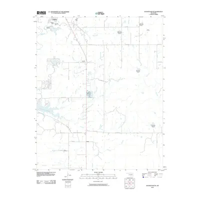
2010 Sulphur South
Murray County, OK
2010 Turner Falls
Murray County, OK
2012 Fox NE
Murray County, OK
2012 Sulphur North
Murray County, OK
2012 Sulphur South
Murray County, OK
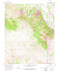
2012 Turner Falls
Murray County, OK
2016 Fox NE
Murray County, OK
2016 Sulphur North
Murray County, OK
2016 Sulphur South
Murray County, OK
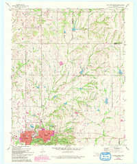
2016 Turner Falls
Murray County, OK
2018 Fox NE
Murray County, OK
2018 Sulphur North
Murray County, OK
2018 Sulphur South
Murray County, OK
2018 Turner Falls
Murray County, OK
2022 Fox NE
Murray County, OK
2022 Sulphur North
Murray County, OK
2022 Sulphur South
Murray County, OK
2022 Turner Falls
Murray County, OK