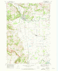
1969 Map of Turner
USGS Topo · Published 1971About this map
The town of Turner serves as a central hub in this late-1960s landscape, situated where the Southern Pacific tracks run parallel to the waters of Mill Creek. This section of the Willamette Valley is defined by its transition from the agricultural lowlands to the elevations of the Waldo Hills and Salem Hills. The map reveals a highly managed hydrological system, including the Franzen Reservoir and an intricate network of irrigation channels like the Main Canal and Lateral Canal feeding the surrounding farms. Local educational and spiritual life is anchored by landmarks such as Cloverdale Sch and Pleasant Grove Ch. The presence of several historic burial grounds, including the Twin Oaks Cem and the IOOF Cem near Parrish Gap, provides significant points of interest for those tracing the development and genealogical roots of this Marion County region.
Find a feature on this map
46 named features on this map. Tap any name to fly to it.
Don’t see what you’re looking for? This feature index may not catch every label — zoom into the map to look around manually.
Map Details
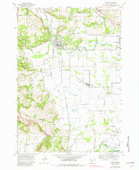
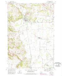
Editions of this 1969 Turner Map
3 editions found
Other maps of this area

1912 · Jefferson
USGS Topo · 1:31,680

1915 · Eola
USGS Topo · 1:31,680

1915 · Sidney
USGS Topo · 1:31,680

1916 · Albany
USGS Topo · 1:62,500

1917 · Salem
USGS Topo · 1:62,500

1921 · Lebanon
USGS Topo · 1:62,500

1922 · Lebanon
USGS Topo · 1:48,000

1924 · Lebanon
USGS Topo · 1:62,500

1925 · Stayton
USGS Topo · 1:62,500

1940 · Lebanon
USGS Topo · 1:62,500