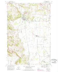
1969 Map of Turner
USGS Topo · Published 1987About this map
Waldo Hills and the southern extension of the Salem corporate boundary define the landscape of this 1960s Willamette Valley quadrangle. The Southern Pacific railroad serves as a central spine for the agricultural economy, connecting the established communities of Turner and Aumsville with the rural outpost of Marion to the south. The water management system is particularly intricate, featuring the Aumsville Canal, Perrin Lateral, and the Main Canal, which diverted water across the lowland plains to support the region's farms and orchards.
Find a feature on this map
44 named features on this map. Tap any name to fly to it.
Don’t see what you’re looking for? This feature index may not catch every label — zoom into the map to look around manually.
Map Details
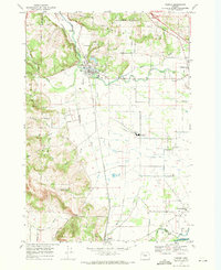
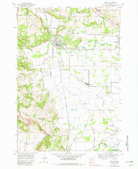
Editions of this 1969 Turner Map
3 editions found
Other maps of this area

1912 · Jefferson
USGS Topo · 1:31,680

1915 · Eola
USGS Topo · 1:31,680

1915 · Sidney
USGS Topo · 1:31,680

1916 · Albany
USGS Topo · 1:62,500

1917 · Salem
USGS Topo · 1:62,500

1921 · Lebanon
USGS Topo · 1:62,500

1922 · Lebanon
USGS Topo · 1:48,000

1924 · Lebanon
USGS Topo · 1:62,500

1925 · Stayton
USGS Topo · 1:62,500

1940 · Lebanon
USGS Topo · 1:62,500