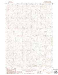
1984 Map of Turnercrest
USGS Topo · Published 1986About this map
Turnercrest stands as the primary namesake for this high plains territory in Wyoming, situated at the confluence of several essential watercourses. The landscape is defined by the drainage systems of Bates Creek, North Bates Creek, and Little Bates Creek, which carve through the terrain as it transitions toward the open expanses of Reno Flats. This provisional mapping, compiled from 1970s aerial photography, documents the region's ranching-based settlement patterns and water infrastructure, including the isolated Mexican Springs to the south.
Find a feature on this map
6 named features on this map. Tap any name to fly to it.
Don’t see what you’re looking for? This feature index may not catch every label — zoom into the map to look around manually.
Map Details
Editions of this 1984 Turnercrest Map
2 editions found
Other maps of this area

1953 · South Butte
USGS Topo · 1:24,000

1954 · Pine Tree
USGS Topo · 1:24,000

1955 · Newcastle
USGS Topo · 1:250,000

1958 · Newcastle
USGS Topo · 1:250,000

1959 · Coal Draw
USGS Topo · 1:62,500

1960 · Ross
USGS Topo · 1:62,500

1960 · Turnercrest
USGS Topo · 1:62,500

1974 · Reno Junction
USGS Topo · 1:100,000

1979 · Bill
USGS Topo · 1:100,000

1984 · Turnercrest
USGS Topo · 1:24,000