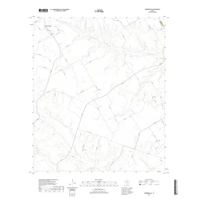
2019 Map of Turnersville
USGS Topo · Published 2019About this map
Turnersville sits at the northern edge of Coryell County, where the upper reaches of the Middle-Bosque River and its various tributaries carve through the central Texas landscape. This map documents a rural agricultural region defined by its creek-bottoms and family-named landmarks. The settlement pattern here is anchored by several burial grounds that point to the area's ancestral roots, including Turnersville Cem near the town center and the more outlying Miller Cem, Crawford Cem, and Coffee Cem. The hydrography of the region is notably intricate, with numerous named branches and creeks such as Goldys Br, Thorp Br, and Pickens Br draining into the larger river system. A network of ranch-to-market roads and county lanes, such as FM 217 and FM 182, connects these dispersed homesteads and grazing lands, illustrating the modern rural infrastructure of this part of the Bosque and Coryell County borderlands.
Find a feature on this map
58 named features on this map. Tap any name to fly to it.
Don’t see what you’re looking for? This feature index may not catch every label — zoom into the map to look around manually.
Map Details
Editions of this 2019 Turnersville Map
This is the sole edition of this map. No revisions or reprints were ever made.
Other maps of this area

1888 · Meridian
USGS Topo · 1:125,000

1894 · Meridian
USGS Topo · 1:125,000

1894 · Gatesville
USGS Topo · 1:125,000

1947 · Purmela
USGS Topo · 1:62,500

1947 · Oglesby
USGS Topo · 1:24,000

1947 · Gatesville West
USGS Topo · 1:24,000

1947 · Gatesville East
USGS Topo · 1:24,000
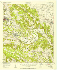
1950 · Gatesville
USGS Topo · 1:62,500

1954 · Waco
USGS Topo · 1:250,000
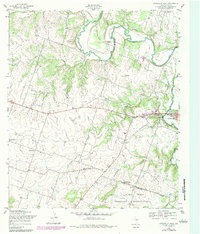
1954 · Gatesville West
USGS Topo · 1:24,000