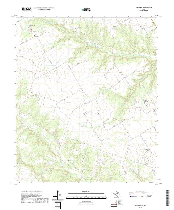
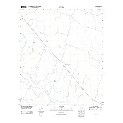
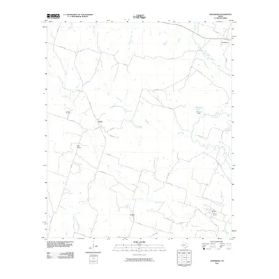
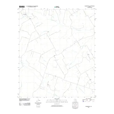
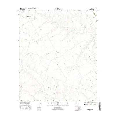
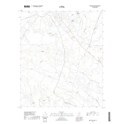
2022 Map of Turnersville
USGS Topo · Published 2022About this map
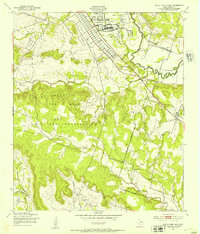
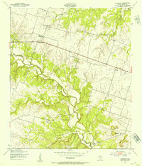
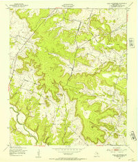
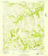
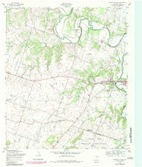
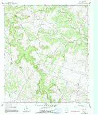
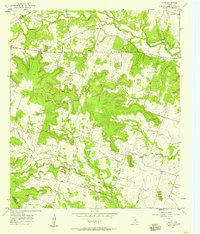
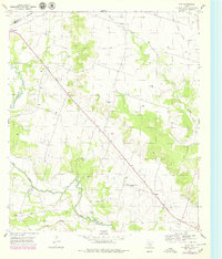
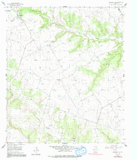
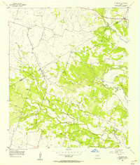
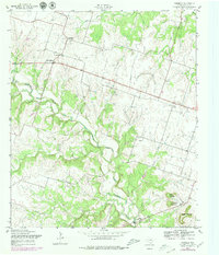
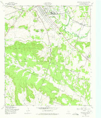
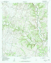
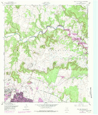
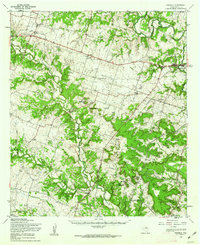
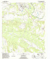
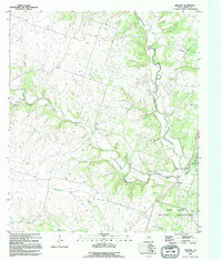
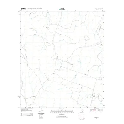
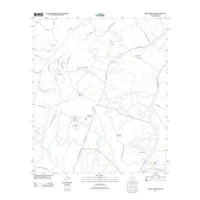
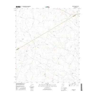
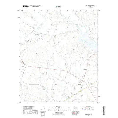
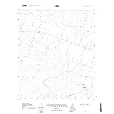
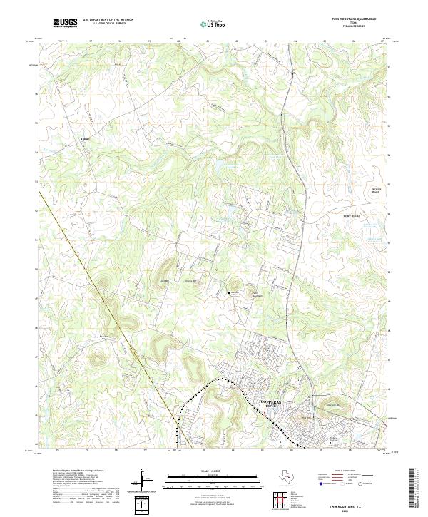
Turnersville anchors this Central Texas landscape where the Middle Bosque River and its numerous tributaries, including Thorp Br and Pickens Br, have carved a branching drainage pattern through Coryell County. The settlement pattern is defined by a network of farm-to-market roads and county lanes that follow the high ground between creek beds. For genealogists, the map is particularly useful for locating several family and community burial grounds, such as Turnersville Cem, the Warren - Miller Cem, and the Crawford Cem further southeast. The terrain transitions from the river valley in the north toward Coryell Cr in the south, reflecting a rural economy built on the limestone-based geography of the Edwards Plateau's edge. The concentration of cemeteries alongside named watercourses like Cave Cr and Clear Cr suggests a long-standing history of rural family homesteads scattered throughout these hills.
Find a feature on this map
55 named features on this map. Tap any name to fly to it.
Don’t see what you’re looking for? This feature index may not catch every label — zoom into the map to look around manually.
Map Details
Editions of this 2022 Turnersville Map
This is the sole edition of this map. No revisions or reprints were ever made.
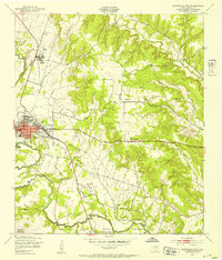
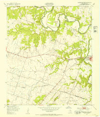
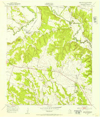
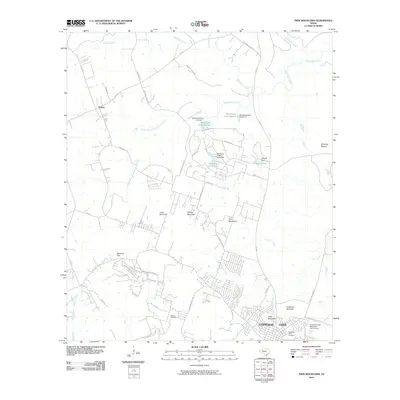
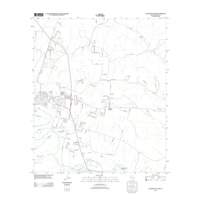
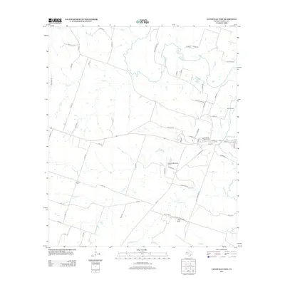
Historical Maps of Turnersville Through Time
105 maps found
1947 Gatesville East
Coryell County, TX
1947 Gatesville West
Coryell County, TX
1947 Leon Junction
Coryell County, TX
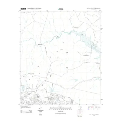
1947 North Fort Hood
Coryell County, TX
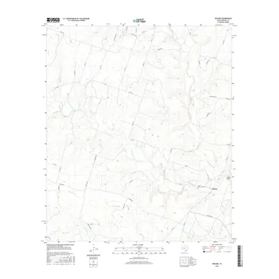
1947 Pidcoke
Coryell County, TX
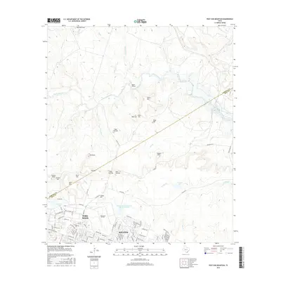
1947 Post Oak Mountain
Coryell County, TX
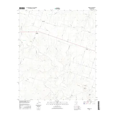
1947 Purmela
Coryell County, TX
1947 Purmela
Coryell County, TX
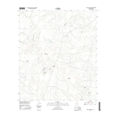
1947 Shell Mountains
Coryell County, TX
1947 Twin Moutains
Coryell County, TX
1954 Gatesville West
Coryell County, TX
1954 Izoro
Coryell County, TX
1954 Pearl
Coryell County, TX
1955 Ater
Coryell County, TX
1955 Turnersville
Coryell County, TX
1956 Jonesboro
Coryell County, TX
1957 Gatesville East
Coryell County, TX
1957 Gatesville West
Coryell County, TX
1957 Leon Junction
Coryell County, TX
1957 Purmela
Coryell County, TX
1958 North Fort Hood
Coryell County, TX
1958 Pidcoke
Coryell County, TX
1958 Post Oak Mountain
Coryell County, TX
1958 Purmela
Coryell County, TX
1958 Shell Mountains
Coryell County, TX
1958 Twin Mountains
Coryell County, TX
1994 Gatesville East
Coryell County, TX
1994 North Fort Hood
Coryell County, TX
1994 Post Oak Mountain
Coryell County, TX
1995 Gatesville West
Coryell County, TX
1995 Leon Junction
Coryell County, TX
1995 Pidcoke
Coryell County, TX
1995 Purmela
Coryell County, TX
1995 Shell Mountains
Coryell County, TX
1995 Twin Mountains
Coryell County, TX
2010 Ater
Coryell County, TX
2010 Gatesville East
Coryell County, TX
2010 Gatesville West
Coryell County, TX
2010 Izoro
Coryell County, TX
2010 Jonesboro
Coryell County, TX
2010 Leon Junction
Coryell County, TX
2010 North Fort Hood
Coryell County, TX
2010 Pearl
Coryell County, TX
2010 Pidcoke
Coryell County, TX
2010 Post Oak Mountain
Coryell County, TX
2010 Purmela
Coryell County, TX
2010 Shell Mountains
Coryell County, TX
2010 Turnersville
Coryell County, TX
2010 Twin Mountains
Coryell County, TX
2012 Gatesville East
Coryell County, TX
2012 Gatesville West
Coryell County, TX
2012 Izoro
Coryell County, TX
2012 Jonesboro
Coryell County, TX
2012 Leon Junction
Coryell County, TX
2012 North Fort Hood
Coryell County, TX
2012 Pearl
Coryell County, TX
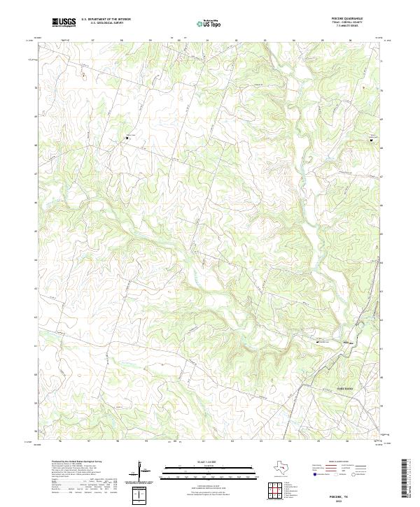
2012 Pidcoke
Coryell County, TX
2012 Post Oak Mountain
Coryell County, TX
2012 Purmela
Coryell County, TX
2012 Shell Mountains
Coryell County, TX
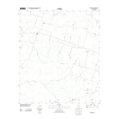
2012 Turnersville
Coryell County, TX
2012 Twin Mountains
Coryell County, TX
2013 Ater
Coryell County, TX
2016 Ater
Coryell County, TX
2016 Gatesville East
Coryell County, TX
2016 Gatesville West
Coryell County, TX
2016 Izoro
Coryell County, TX
2016 Jonesboro
Coryell County, TX
2016 Leon Junction
Coryell County, TX
2016 North Fort Hood
Coryell County, TX
2016 Pearl
Coryell County, TX
2016 Pidcoke
Coryell County, TX
2016 Post Oak Mountain
Coryell County, TX
2016 Purmela
Coryell County, TX
2016 Shell Mountains
Coryell County, TX
2016 Turnersville
Coryell County, TX
2016 Twin Mountains
Coryell County, TX
2019 Ater
Coryell County, TX
2019 Gatesville East
Coryell County, TX
2019 Gatesville West
Coryell County, TX
2019 Izoro
Coryell County, TX
2019 Jonesboro
Coryell County, TX
2019 Leon Junction
Coryell County, TX
2019 North Fort Hood
Coryell County, TX
2019 Pearl
Coryell County, TX
2019 Pidcoke
Coryell County, TX
2019 Post Oak Mountain
Coryell County, TX
2019 Purmela
Coryell County, TX
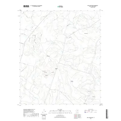
2019 Shell Mountains
Coryell County, TX
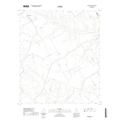
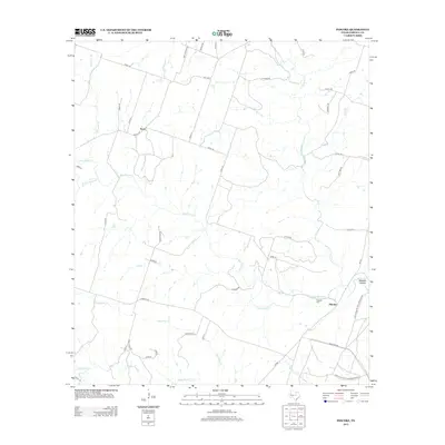
2019 Turnersville
Coryell County, TX
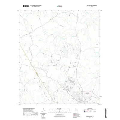
2019 Twin Mountains
Coryell County, TX
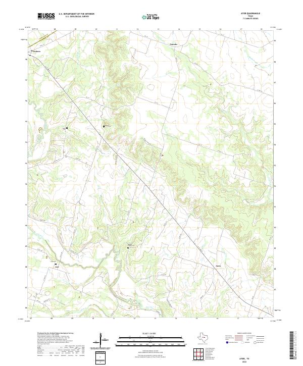
2022 Ater
Coryell County, TX
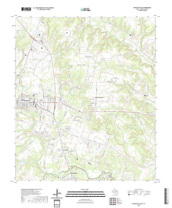
2022 Gatesville East
Coryell County, TX
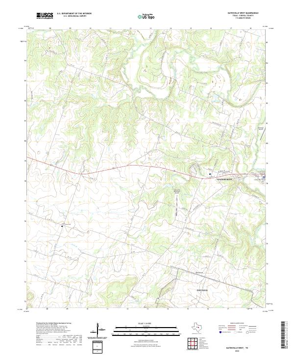
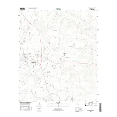
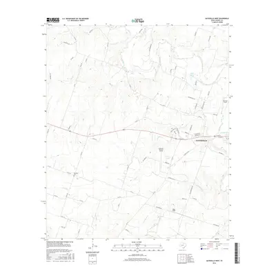
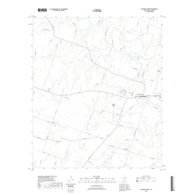
2022 Gatesville West
Coryell County, TX
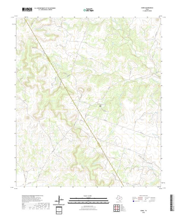
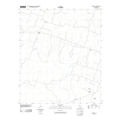
2022 Izoro
Coryell County, TX
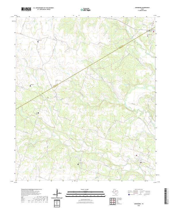
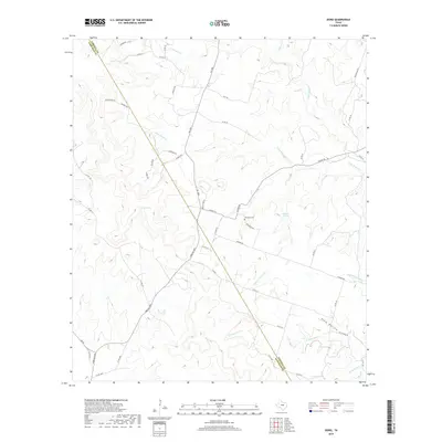
2022 Jonesboro
Coryell County, TX
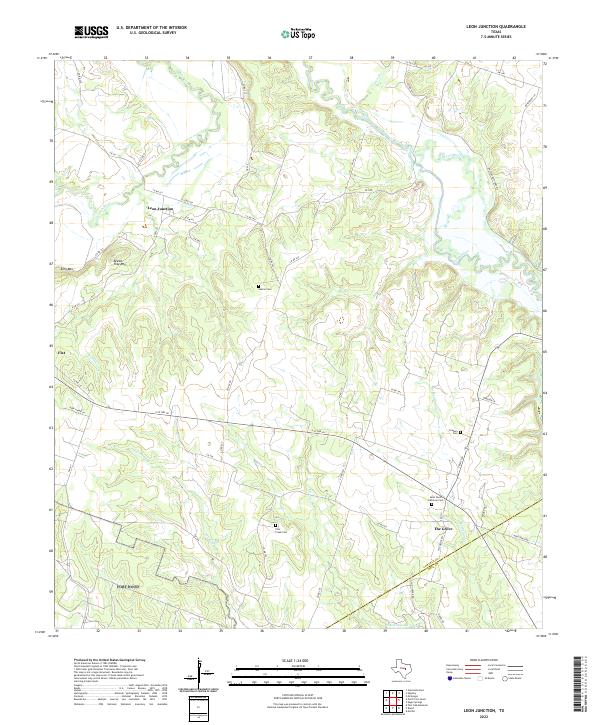
2022 Leon Junction
Coryell County, TX
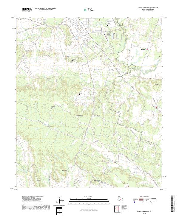
2022 North Fort Hood
Coryell County, TX
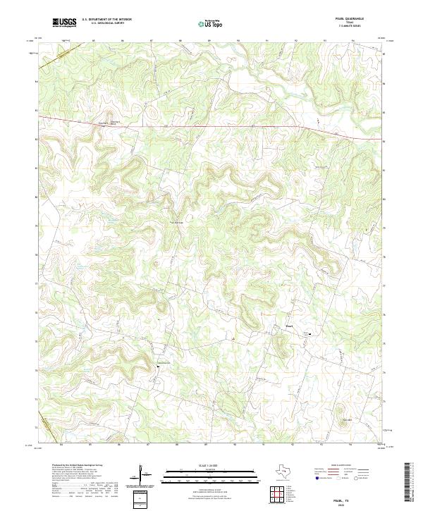
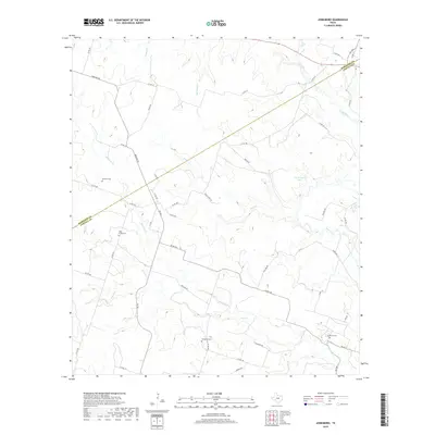
2022 Pearl
Coryell County, TX
2022 Pidcoke
Coryell County, TX
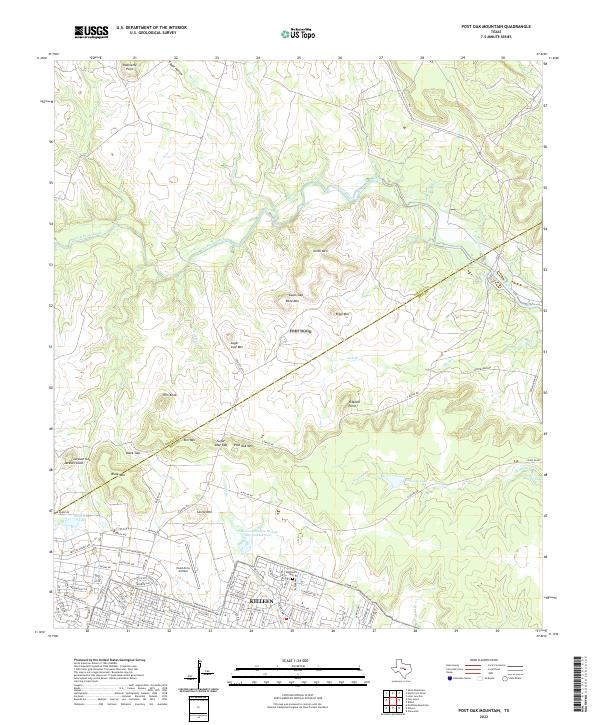
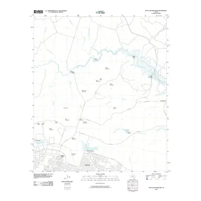
2022 Post Oak Mountain
Coryell County, TX
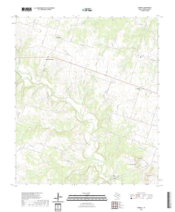
2022 Purmela
Coryell County, TX
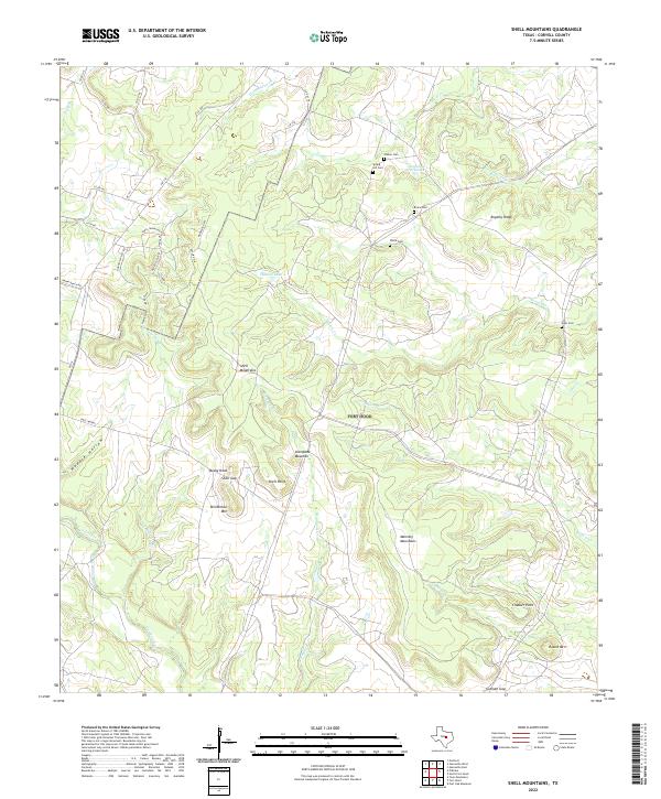
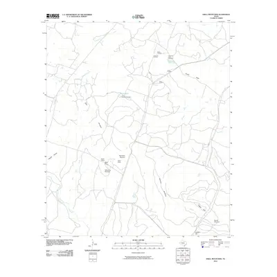
2022 Shell Mountains
Coryell County, TX
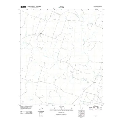
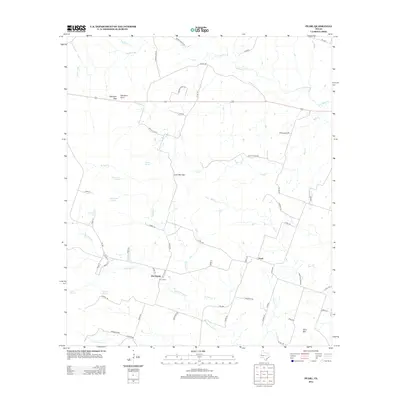
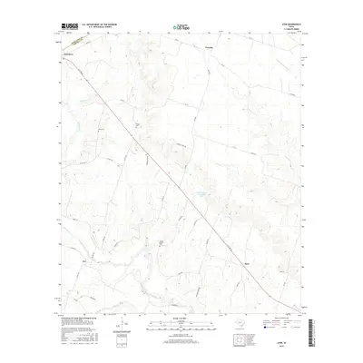
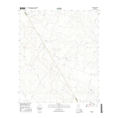
2022 Turnersville
Coryell County, TX
2022 Twin Mountains
Coryell County, TX