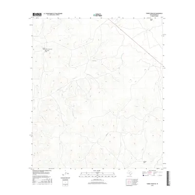
2016 Map of Turney Draw NE
USGS Topo · Published 2016About this map
The Dry Devils River carves a winding path through this corner of the Edwards Plateau, where the landscape is defined by an intricate network of seasonal drainage channels. To the northwest, the terrain is shaped by the confluence of Turney Draw, Little Turney Draw, and Big Turney Draw, illustrating the complex natural irrigation and erosion patterns typical of this semi-arid region. These draws are critical features for understanding local land use and historically significant boundaries in West Texas ranching country.
Find a feature on this map
9 named features on this map. Tap any name to fly to it.
Don’t see what you’re looking for? This feature index may not catch every label — zoom into the map to look around manually.
Map Details
Editions of this 2016 Turney Draw NE Map
This is the sole edition of this map. No revisions or reprints were ever made.
Other maps of this area

1893 · Rock Springs
USGS Topo · 1:125,000

1954 · Sonora
USGS Topo · 1:250,000

1958 · Sonora
USGS Topo · 1:250,000

1963 · Harrison Ranch
USGS Topo · 1:24,000

1967 · Dunbar Draw SW
USGS Topo · 1:24,000

1967 · Dunbar Draw SE
USGS Topo · 1:24,000

1970 · Ray Lake NW
USGS Topo · 1:24,000

1971 · Turney Draw SE
USGS Topo · 1:24,000
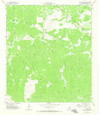
1971 · Turney Draw NE
USGS Topo · 1:24,000
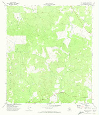
1971 · Ray Lake SW
USGS Topo · 1:24,000