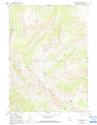
1965 Map of Turquoise Lake
USGS Topo · Published 1991About this map
Teton National Forest encompasses this high-elevation landscape within the Gros Ventre Range, a region defined by its complex drainage systems and significant peaks. Surveyed in the mid-1960s, the map reveals a network of high-country routes including the Highline Trail and various unnamed pack trails that connect remote water bodies like Turquoise Lake and Goodwin Lake.
Find a feature on this map
20 named features on this map. Tap any name to fly to it.
Don’t see what you’re looking for? This feature index may not catch every label — zoom into the map to look around manually.
Map Details
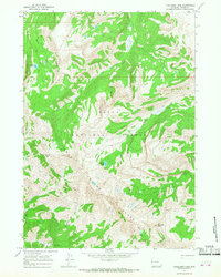
Editions of this 1965 Turquoise Lake Map
2 editions found
Other maps of this area

1899 · Grand Teton
USGS Topo · 1:125,000

1901 · Grand Teton
USGS Topo · 1:125,000

1902 · Mt Leidy
USGS Topo · 1:125,000

1907 · Gros Ventre
USGS Topo · 1:125,000

1910 · Gros Ventre
USGS Topo · 1:125,000

1931 · Jackson
USGS Topo · 1:125,000

1935 · Jackson
USGS Topo · 1:125,000

1955 · Driggs
USGS Topo · 1:250,000

1958 · Driggs
USGS Topo · 1:250,000

1962 · Driggs
USGS Topo · 1:250,000