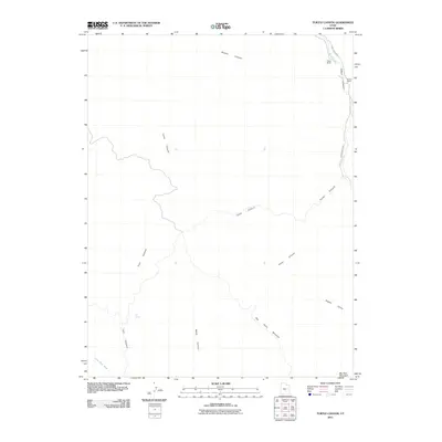
2011 Map of Turtle Canyon
USGS Topo · Published 2011About this map
Range Creek carves a path through this section of the West Desolation Canyon wilderness, where steep drainages and high plateaus define the landscape. Isolated homesteads such as Pilling Ranch and Wilcox Ranch sit tucked along the narrow valley floor, connected to the outside world only by the unpaved Range Creek Rd. The drainage network is complex, with Turtle Canyon and Xmas Canyon feeding into the primary waterway from the high elevations of the Big Horn Benches.
Find a feature on this map
15 named features on this map. Tap any name to fly to it.
Don’t see what you’re looking for? This feature index may not catch every label — zoom into the map to look around manually.
Map Details
Editions of this 2011 Turtle Canyon Map
This is the sole edition of this map. No revisions or reprints were ever made.
Other maps of this area

1886 · Price River
USGS Topo · 1:250,000

1896 · Price River
USGS Topo · 1:250,000

1948 · Woodside
USGS Topo · 1:62,500

1949 · Woodside
USGS Topo · 1:62,500

1950 · Woodside
USGS Topo · 1:62,500

1954 · Range Creek
USGS Topo · 1:62,500

1956 · Price
USGS Topo · 1:250,000

1960 · Price
USGS Topo · 1:250,000

1962 · Price
USGS Topo · 1:250,000
1963 · Gunnison Butte
USGS Topo · 1:62,500