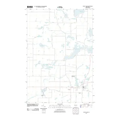
2010 Map of Turtle Lake
USGS Topo · Published 2010About this map
The village of Turtle Lake serves as the focal point for this 2010 survey of western Wisconsin, situated at a junction where the wetlands of the North Branch Beaver Brook meet local industry. The map captures the hydrological complexity of the region, from the Old Mill Pond to the infrastructure of the Beaver Brook Dam and Skinaway Lake 2WP2563 Dam. These water management features, along with the numerous glacial lakes like Horseshoe Lake and Staples Lake, indicate a landscape defined by its waterways and drainage systems.
Find a feature on this map
67 named features on this map. Tap any name to fly to it.
Don’t see what you’re looking for? This feature index may not catch every label — zoom into the map to look around manually.
Map Details
Editions of this 2010 Turtle Lake Map
This is the sole edition of this map. No revisions or reprints were ever made.
Other maps of this area

1950 · Balsam Lake
USGS Topo · 1:62,500

1950 · Turtle Lake
USGS Topo · 1:62,500

1951 · Cumberland
USGS Topo · 1:48,000

1951 · Frederic
USGS Topo · 1:48,000

1952 · Turtle Lake
USGS Topo · 1:62,500

1953 · Stillwater
USGS Topo · 1:250,000

1955 · Frederic
USGS Topo · 1:62,500

1955 · Stillwater
USGS Topo · 1:250,000

1956 · Cumberland
USGS Topo · 1:62,500

1958 · Stillwater
USGS Topo · 1:250,000