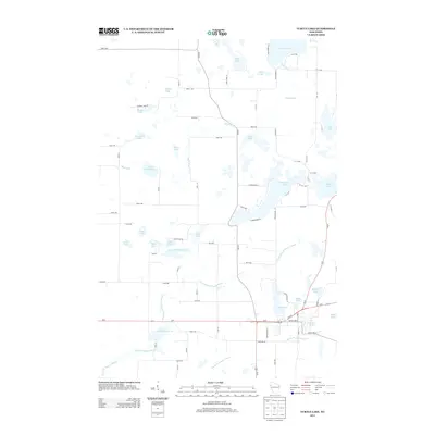
2013 Map of Turtle Lake
USGS Topo · Published 2013About this map
Apple River and the complex drainage of the North Branch Beaver Brook define the landscape of this Barron County region. The map documents a territory defined by glacial lakes and wetlands, where modern infrastructure like Us-8 and Us-63 intersects with historical water features. Significant water bodies such as Silver Lake, Horseshoe Lake, and Staples Lake are interspersed with smaller features like Elbow Lake and Skinaway Lake, illustrating the dense lacustrine environment typical of Northwest Wisconsin. The presence of the Old Mill Pond and Joel Flowage 22 suggests a history of water management and local industry centered around the area's numerous brooks and rivers, including the South Br Beaver Brook. The grid of rural roads, including Glovers Lake Dr and various numbered avenues, provides a clear view of the modern land division and residential access to the many shorelines.
Find a feature on this map
81 named features on this map. Tap any name to fly to it.
Don’t see what you’re looking for? This feature index may not catch every label — zoom into the map to look around manually.
Map Details
Editions of this 2013 Turtle Lake Map
This is the sole edition of this map. No revisions or reprints were ever made.
Other maps of this area

1950 · Balsam Lake
USGS Topo · 1:62,500

1950 · Turtle Lake
USGS Topo · 1:62,500

1951 · Cumberland
USGS Topo · 1:48,000

1951 · Frederic
USGS Topo · 1:48,000

1952 · Turtle Lake
USGS Topo · 1:62,500

1953 · Stillwater
USGS Topo · 1:250,000

1955 · Frederic
USGS Topo · 1:62,500

1955 · Stillwater
USGS Topo · 1:250,000

1956 · Cumberland
USGS Topo · 1:62,500

1958 · Stillwater
USGS Topo · 1:250,000