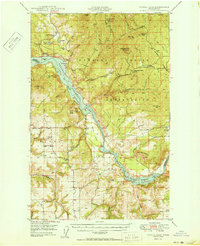
1950 Map of Turtle Lake
USGS Topo · Published 1950About this map
Spokane Indian Reservation lands dominate the eastern portion of this 1950 survey, characterized by rugged canyon landscapes and industrial mining activity. The extraction of minerals is central to the era, evidenced by the Germania Mine, Germania Consolidated Mine, and the Spokane Molybdenum Mine located near Pitney Butte. These operations were served by a network of unimproved roads winding through the breaks of the Spokane River and Franklin D Roosevelt Lake National Recreational Area.
Find a feature on this map
51 named features on this map. Tap any name to fly to it.
Don’t see what you’re looking for? This feature index may not catch every label — zoom into the map to look around manually.
Map Details
Editions of this 1950 Turtle Lake Map
2 editions found
Other maps of this area

1927 · Chewelah
USGS Topo · 1:125,000

1930 · Chewelah
USGS Topo · 1:125,000

1944 · Wellpinit
USGS Topo · 1:62,500

1945 · Reardan
USGS Topo · 1:62,500

1948 · Hunters
USGS Topo · 1:62,500

1948 · Wilmont Creek
USGS Topo · 1:62,500

1948 · Lincoln
USGS Topo · 1:62,500

1948 · Turtle Lake
USGS Topo · 1:62,500

1950 · Lincoln
USGS Topo · 1:62,500

1950 · Turtle Lake
USGS Topo · 1:62,500